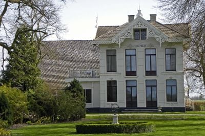
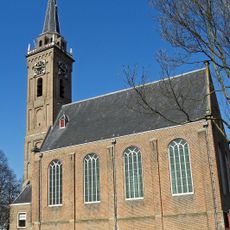
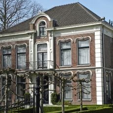
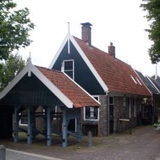
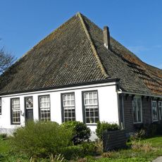
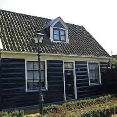
Beemster, UNESCO World Heritage polder in North Holland, Netherlands
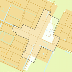
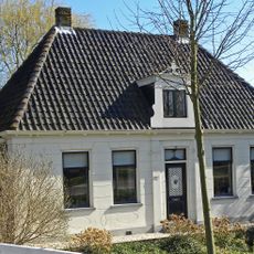
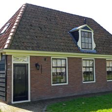
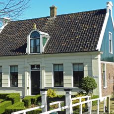
The Beemster is a polder in North Holland organized in a geometric grid where the land divides into square sections separated by roads and canals. This ordered layout stretches across the entire area and shapes the landscape you see today.
In the early 17th century, a large lake was drained using windmills and converted into agricultural land. This ambitious project marks the start of modern Dutch water management.
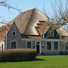
The landscape reflects Dutch ideals of rational order and control over nature, visible in its symmetrical patterns and straight lines that still shape daily life and farming today. Visitors walking through the polder experience this philosophy made tangible in the organization of roads, canals, and fields.
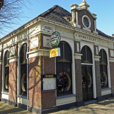
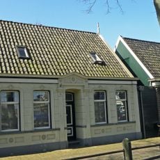
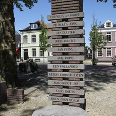
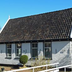
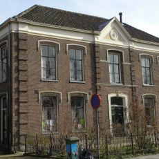
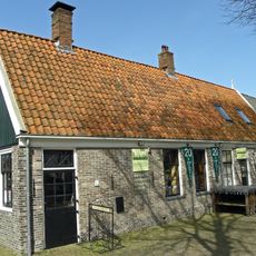
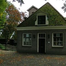
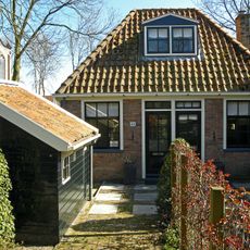
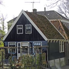
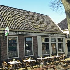
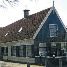
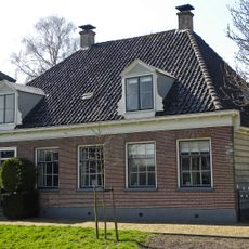
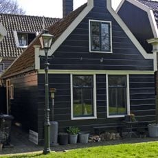
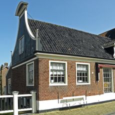
The area is best explored by bicycle, as a network of paths runs through the whole landscape. The small village of Middenbeemster in the center provides a good starting point for exploration.
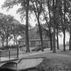
The land sits about 4 meters below sea level and is protected from water by a carefully maintained network of canals and dikes. This system has functioned without major interruption for over 400 years.
The community of curious travelers
AroundUs brings together thousands of curated places, local tips, and hidden gems, enriched daily by 60,000 contributors worldwide.