Enable Location

We need your location to show you interesting places around you

Discover nearby places

Find interesting locations and hidden gems around you

Precise directions

Get accurate directions and distances to places

Your location is never shared with other users. It's only used when you tap the location button.

Saba

Log in to your account

Start exploring — it's free

Trusted by 61,905 travelers worldwide

Continue with Google
Continue with Apple
or

We will send you a code to connect

By continuing, you accept our Terms and Conditions and our Privacy Policy

Check your inbox

We've sent a pincode in your inbox. Please enter the code below.

Saba, Volcanic island in Caribbean Netherlands.

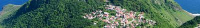
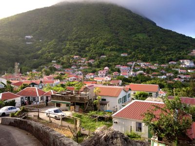
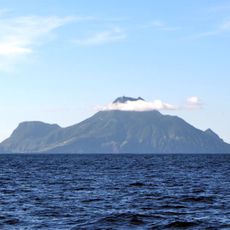
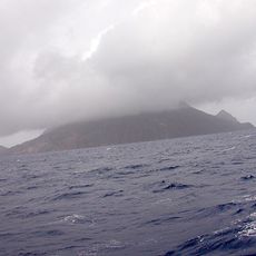
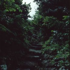
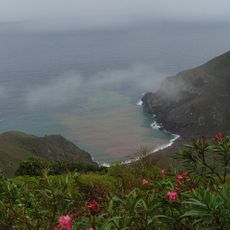
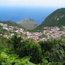
Saba is an island in the Caribbean within the Netherlands, formed from an extinct volcanic cone. The terrain rises steeply from the sea and forms a green mountain peak with no flat shores or sandy beaches.

Europeans discovered the island in the late 15th century, after which ownership changed over centuries. In 2010 the territory became a special municipality within the Dutch kingdom with new legal structures.

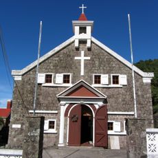
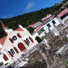
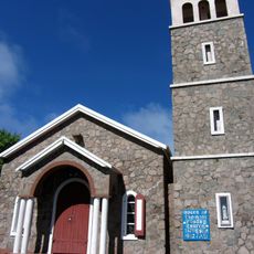
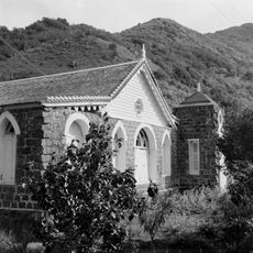
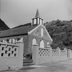
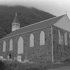
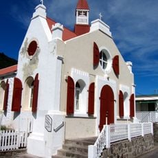
The name comes from the Taino word for rock, describing the rugged landscape. Local houses show white roofs with green shutters, a building style that adapts to the steep slopes.

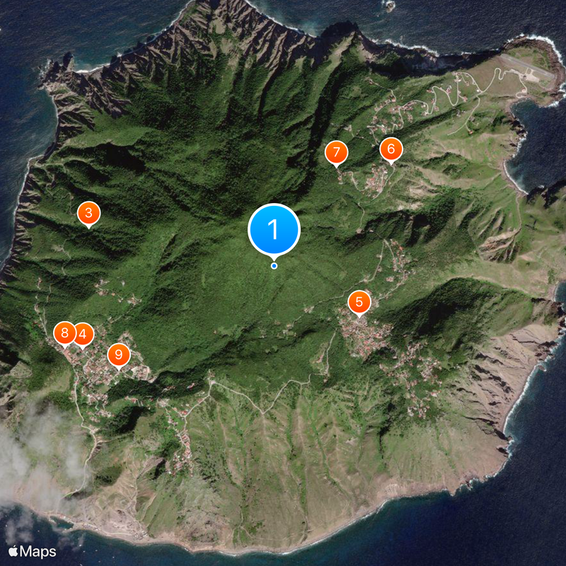
A small airport sits on a narrow plateau, while ferry connections to Saint Martin take about ninety minutes. Hiking trails lead through dense forest to the summit, where proper footwear and enough water are important.

The airport runway ends on both sides with steep cliffs falling into the sea. Divers seek the surrounding waters to see underwater pinnacles and schools of tropical fish.

The community of curious travelers

AroundUs brings together thousands of curated places, local tips, and hidden gems, enriched daily by 60,000 contributors worldwide.

Start exploring
Location
Location
Kingdom of the Netherlands
Inception
October 10, 2010
Capital city
The Bottom
Reference
OLS
Operator
Openbaar Lichaam Saba
Part of
Caribbean Netherlands, Leeward Islands, Lesser Antilles, Caribbean
GPS coordinates
17.63250,-63.23750
Latest update
December 15, 2025 07:50
« Saba - Volcanic island in Caribbean Netherlands » is provided by Around Us (aroundus.com). Images and texts are derived from Wikimedia project under a Creative Commons license. You are allowed to copy, distribute, and modify copies of this page, under the conditions set by the license, as long as this note is clearly visible.

Discover hidden gems everywhere you go!

From secret cafés to breathtaking viewpoints, skip the crowded tourist spots and find places that match your style. Our app makes it easy with voice search, smart filtering, route optimization, and insider tips from travelers worldwide. Download now for the complete mobile experience.

Around Us App Screenshot

A unique approach to discovering new places

Le Figaro

All the places worth exploring

France Info

A tailor-made excursion in just a few clicks

20 Minutes

Around Us
Travel Guide & Maps
Download

Send to your phone

QR Code
1

Open the camera app on your mobile.

2

Point at the QR code with your camera. A notification will appear.

3

Tap the notification to open the link.