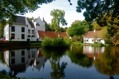
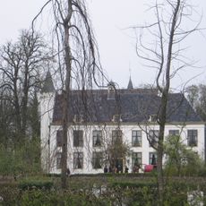
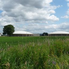
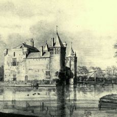
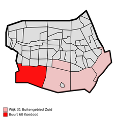
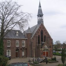
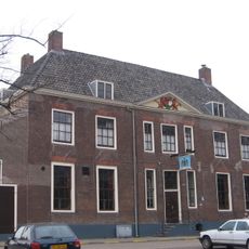
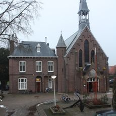
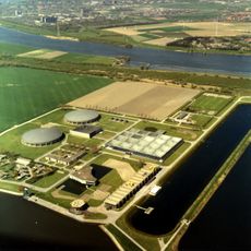
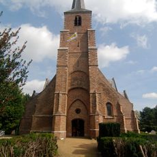
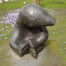
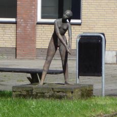
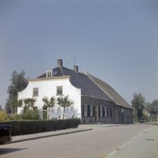
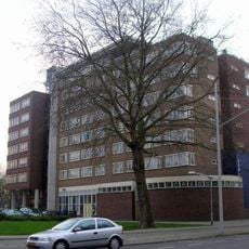
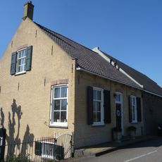
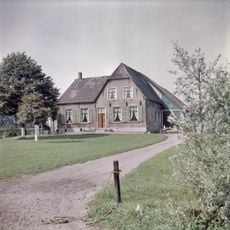
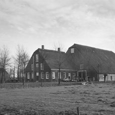
Albrandswaard, municipality of the Netherlands
Location: South Holland
Inception: 1985
Capital city: Poortugaal
Elevation above the sea: 0 m
Shares border with: Rotterdam, Barendrecht, Nissewaard, Hoeksche Waard
Phone: +31105061111
Email: info@albrandswaard.nl
Website: https://albrandswaard.nl
GPS coordinates: 51.85670,4.40390
Latest update: March 9, 2025 01:51
Kasteel van Rhoon
1.1 km
Beerenplaat
2.1 km
Rhoonse Grienden
2.2 km
Slot Valckesteyn
1.3 km
Carnisse Grienden
6.1 km
Hervormde kerk Rhoon
1.1 km
Koedood
6.1 km
Portlandsebrug
4.3 km
Rhoonse Veer
1.5 km
Huis te Pendrecht
999 m
Willibrorduskerk Rhoon
1.4 km
Morgensterkerk
6.1 km
Zout der Aarde
4.6 km
Open Hofkerk
4.9 km
Berenplaat water treatment plant
2.4 km
Hervormde Kerk
1 km
Beertje
4.6 km
Meisjesfiguur
6.1 km
Molendijk 7, Rhoon
1.5 km
Credokerk
5.9 km
Boerderij van het type Vlaamse schuur behorende tot het boerderijcomplex aan de westzijde van de Rijsdijk te Rhoon, gebouwd in Ambachtelijk-traditionele trant.
2.9 km
Kerk v. Jezus Christus. vd H.d Laatste Dagen
5.5 km
Kerkstraat 25, Poortugaal
1.1 km
Portland
4.4 km
Rheestein
5.2 km
Werckershoeve, Rhoon
893 m
Het gezin
6.2 km
Kooimast, gebruikt als elektriciteits-verdeelpaal, alsmede als lantaarnpaal
1 kmReviews
Visited this place? Tap the stars to rate it and share your experience / photos with the community! Try now! You can cancel it anytime.
Discover hidden gems everywhere you go!
From secret cafés to breathtaking viewpoints, skip the crowded tourist spots and find places that match your style. Our app makes it easy with voice search, smart filtering, route optimization, and insider tips from travelers worldwide. Download now for the complete mobile experience.
A unique approach to discovering new places❞
— Le Figaro
All the places worth exploring❞
— France Info
A tailor-made excursion in just a few clicks❞
— 20 Minutes