Campine, Natural region in northeastern Belgium and southeastern Netherlands.
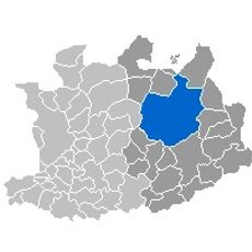
Campine is a region in northeastern Belgium and southeastern Netherlands, spreading across the provinces of Antwerp and Limburg as well as North Brabant. The territory consists of heathlands, pine forests, moors, and wetlands with flat topography and sandy soils crossed by rivers such as the Demer, Nete, and Mark.
In the late 19th century, the discovery of coal deposits near Genk transformed the eastern part into Belgium's main coal territory. The mines shaped the area until the last pit closures in the 1990s.
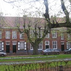
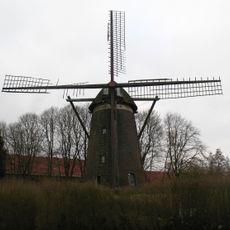
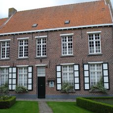
The name derives from the Latin campania, meaning open flat country, which describes the wide sandy soils and heathlands across this territory. Local people use the forests and moorlands for walking and cycling through quiet nature reserves and small villages with brick houses.
The Hoge Kempen National Park on the Belgian side offers marked paths for walking and cycling through pine forests and heathlands, accessible all year round. Several entrances with visitor centers help with orientation in the flat terrain.
The research center in Mol from 1962 was Belgium's first nuclear installation and shows the shift from rural area to technology site. The facility sits in the middle of the former heathland and now also hosts an international radioactivity monitoring station.
The community of curious travelers
AroundUs brings together thousands of curated places, local tips, and hidden gems, enriched daily by 60,000 contributors worldwide.