Chest opened
+${chestReward.xp} XP
Explorer
NOUVEAU ×${chestReward.collectible.quantity}
tapez pour fermer

See the monuments around you in AR Open chests in the app

Around Us is built for your phone — point your camera at the streets and discover the monuments and places around you in augmented reality. Around Us is built for your phone — chests unlock when you walk, explore and capture nearby places.

Enable Location

We need your location to show you interesting places around you

Discover nearby places

Find interesting locations and hidden gems around you

Precise directions

Get accurate directions and distances to places

Your location is never shared with other users. It's only used when you tap the location button.

Den Burg

Log in to your account

Start exploring — it's free

Trusted by 86,260 travelers worldwide

Continue with Google
Continue with Apple
or

We will send you a code to connect

By continuing, you accept our Terms and Conditions and our Privacy Policy

Check your inbox

We've sent a pincode in your inbox. Please enter the code below.

Discussion Reviews 1 Photos
12.3k Popularity

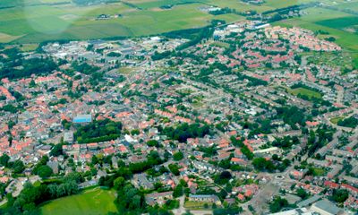
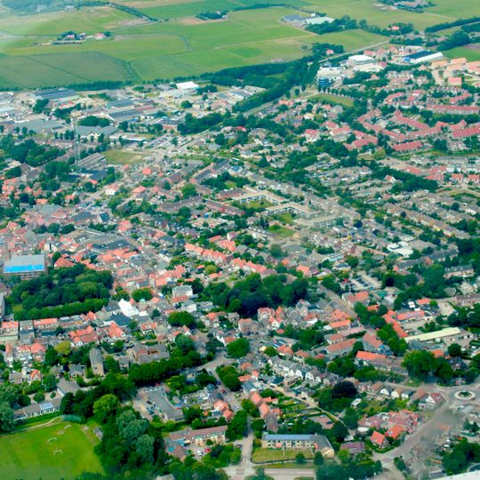
Den Burg, Administrative center on Texel Island, Netherlands.

Den Burg serves as the administrative center of Texel Island and features a medieval street pattern with narrow lanes and traditional Dutch buildings. The streets converge at a central marketplace surrounded by shops, restaurants, and local institutions.

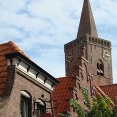
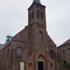
The settlement arose between 918 and 948 under the name Osterburghem as a defensive structure against Viking invasions in North Holland. The church tower dates from the 15th century and underwent several modifications after 1537.

The central church reflects religious architecture from the 11th century and shapes the character of the village. Residents and visitors gather regularly at the marketplace, where traditional crafts and local goods drive the pace of daily life.

The village is easily walkable and offers a dense network of shops, restaurants, and accommodations for all needs. Its flat terrain is ideal for cycling, the primary way to explore the island.

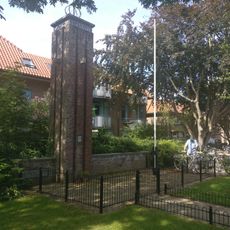
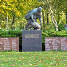
A monument honoring the constructed language Esperanto has stood since 1935 at the corner of Kogerstraat and De Zes. It remains a rare reminder of the international language movement that captured imaginations in the early 1900s.

The community of curious travelers

AroundUs brings together thousands of curated places, local tips, and hidden gems, enriched daily by 60,000 contributors worldwide.
Start exploring
Location
GPS coordinates
53.05487,4.76436
Latest update
September 13, 2026 00:16
Around this place
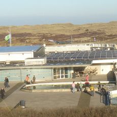
Ecomare
Netherlands

Ecomare

1.8 mi
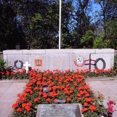
Georgian War Cemetery Loladze Texel
Netherlands

Georgian War Cemetery Loladze Texel

2.3 mi
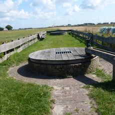
Wezenputten
Netherlands

Wezenputten

3 mi
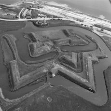
Fort de Schans
Netherlands

Fort de Schans

3.1 mi
Hervormde kerk, Den Burg
Netherlands

Hervormde kerk, Den Burg

1.4 mi
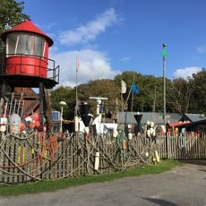
Schipbreuk- en Juttersmuseum Flora
Netherlands

Schipbreuk- en Juttersmuseum Flora

1.3 mi
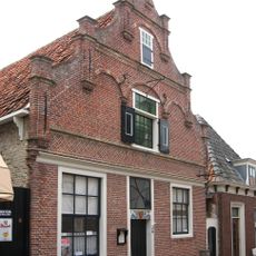
Oudheidkamer Texel
Netherlands

Oudheidkamer Texel

1.3 mi
Saint John the Baptist church (Den Burg)
Netherlands

Saint John the Baptist church (Den Burg)

1.3 mi
T-vormige schuilkerk
Netherlands

T-vormige schuilkerk

1.3 mi
Levensboom
Netherlands

Levensboom

1.2 mi
Smitsweg 6, Den Burg
Netherlands

Smitsweg 6, Den Burg

0.3 mi
Esperantomonument
Netherlands

Esperantomonument

1.3 mi
Pontweg 79, Den Burg
Netherlands

Pontweg 79, Den Burg

1.6 mi
Westerweg 63, Den Hoorn
Netherlands

Westerweg 63, Den Hoorn

0.8 mi
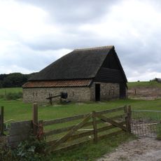
Boet, fraai in landschap gelegen. Rieten kap
Netherlands

Boet, fraai in landschap gelegen. Rieten kap

2.2 mi
De Goede Herder
Netherlands

De Goede Herder

1.2 mi
Waterweg 2, Den Burg
Netherlands

Waterweg 2, Den Burg

2.2 mi
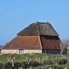
Boet, fraai in landschap gelegen. Rieten kap met turen
Netherlands

Boet, fraai in landschap gelegen. Rieten kap met turen

2.7 mi
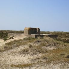
Bunker Battery Den Hoorn
Netherlands

Bunker Battery Den Hoorn

1.9 mi
Tienhoven 8, De Waal
Netherlands

Tienhoven 8, De Waal

2.2 mi
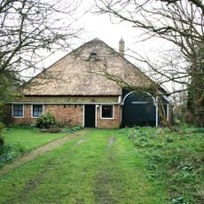
Boet, fraai in landschap gelegen. Gedeeltelijk met riet gedekt
Netherlands

Boet, fraai in landschap gelegen. Gedeeltelijk met riet gedekt

1.7 mi
Boet, fraai in landschap gelegen. Aan een zijde met riet gedekt. Dubbel vierkant met hulpspanten
Netherlands

Boet, fraai in landschap gelegen. Aan een zijde met riet gedekt. Dubbel vierkant met hulpspanten

1.4 mi
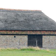
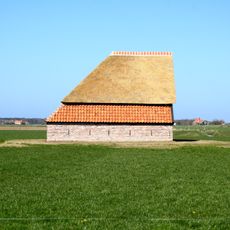
Fraai in landschap gelegen boet. Rieten kap
Netherlands

Fraai in landschap gelegen boet. Rieten kap

1.2 mi
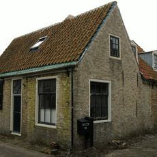
Hersteld pandje waarvan brede gevel aan de straat
Netherlands

Hersteld pandje waarvan brede gevel aan de straat

2.7 mi
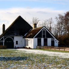
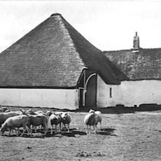
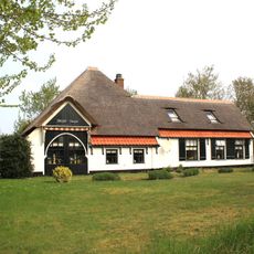
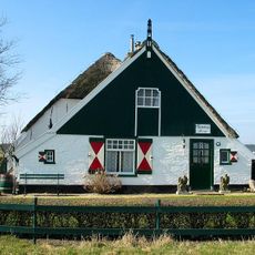
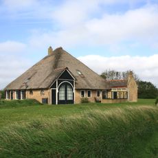
Zuivere stolphoeve met rieten dekking, negenruits vensters en inrit met geschilderde boog
Netherlands

Zuivere stolphoeve met rieten dekking, negenruits vensters en inrit met geschilderde boog

0.8 mi
Rozendijk 34, Den Burg
Netherlands

Rozendijk 34, Den Burg

0.3 mi
Westenweg 78, Den Hoorn
Netherlands

Westenweg 78, Den Hoorn

1 mi
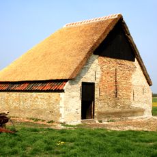
Boet, gelegen aan de weg van Den Burg naar Den Hoorn. Houten gevel en met riet gedekte hoge kap
Netherlands

Boet, gelegen aan de weg van Den Burg naar Den Hoorn. Houten gevel en met riet gedekte hoge kap

1.2 mi
Show the full map
Reviews
Share your experience

No review yet

Discussions
Start a discussion...

No discussion yet

« Den Burg - Administrative center on Texel Island, Netherlands » is provided by Around Us (aroundus.com). Images and texts are derived from Wikimedia project under a Creative Commons license. You are allowed to copy, distribute, and modify copies of this page, under the conditions set by the license, as long as this note is clearly visible.

Discover hidden gems everywhere you go!

From secret cafés to breathtaking viewpoints, skip the crowded tourist spots and find places that match your style. Our app makes it easy with voice search, smart filtering, route optimization, and insider tips from travelers worldwide. Download now for the complete mobile experience.
Around Us App Screenshot

A unique approach to discovering new places

Le Figaro

All the places worth exploring

France Info

A tailor-made excursion in just a few clicks

20 Minutes

Around Us
Travel Guide & Maps
Download

Send to your phone

QR Code
1

Open the camera app on your mobile.

2

Point at the QR code with your camera. A notification will appear.

3

Tap the notification to open the link.