Enable Location

We need your location to show you interesting places around you

Discover nearby places

Find interesting locations and hidden gems around you

Precise directions

Get accurate directions and distances to places

Your location is never shared with other users. It's only used when you tap the location button.

Texel

Log in to your account

Start exploring — it's free

Trusted by 63,260 travelers worldwide

Continue with Google
Continue with Apple
or

We will send you a code to connect

By continuing, you accept our Terms and Conditions and our Privacy Policy

Check your inbox

We've sent a pincode in your inbox. Please enter the code below.

Discussion Reviews 3 Photos 1 Collections
122k Popularity

Texel, Municipality in North Holland, Netherlands

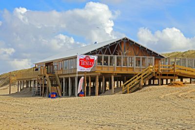
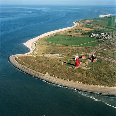
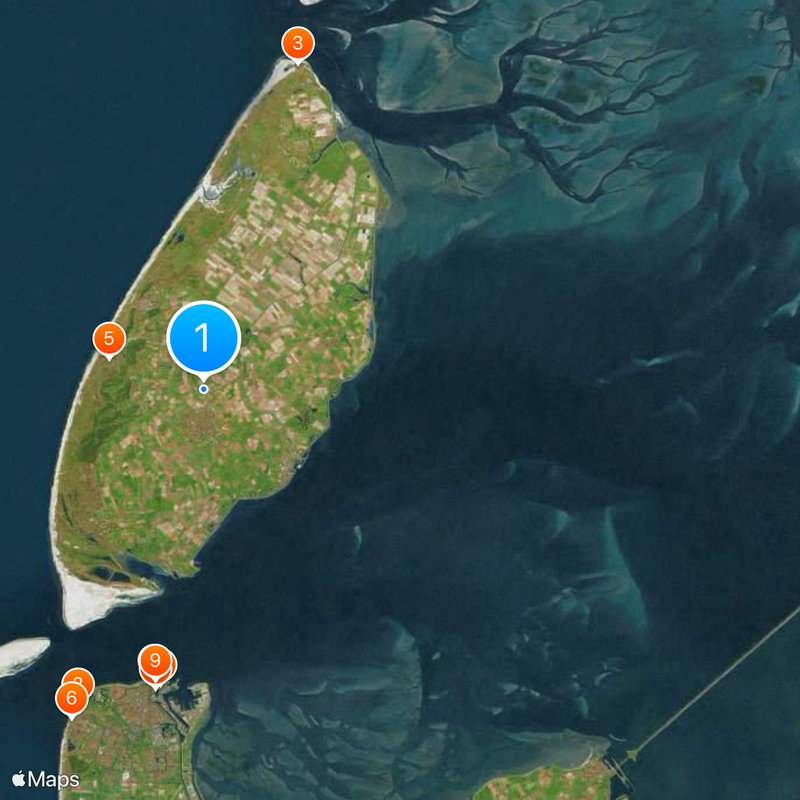
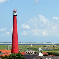
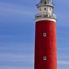
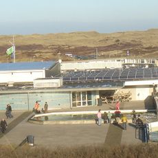
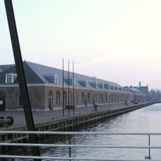
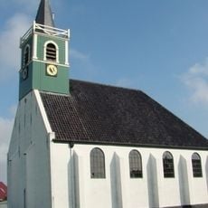
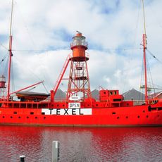
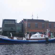
Texel is the largest island of the West Frisian Islands in North Holland, stretching about 25 kilometers long and 9 kilometers wide between the North Sea and the Wadden Sea. The municipality includes seven villages, as well as the lighthouse in the north and the harbor of Oudeschild in the south, where fishing boats dock.

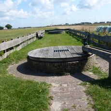
The All Saints' Flood of 1170 separated the area from the mainland and shaped several islands in the region, including this one. In the 17th century, the anchorage off the coast served as a waiting station for ships of the Dutch East India Company before they departed for Asia.

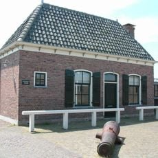
The name comes from Old Frisian and means watershed, referring to its position between two bodies of water. Families visit to watch sheep grazing on the dikes, while local breweries and cheese farms sell their products in small farm shops.

A ferry from Den Helder departs hourly and reaches the island in about 20 minutes, with tickets available online or at the terminal. Bicycles can be rented everywhere and provide access to most villages and beaches, as paths are well maintained.

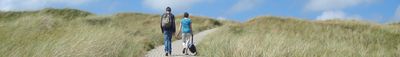
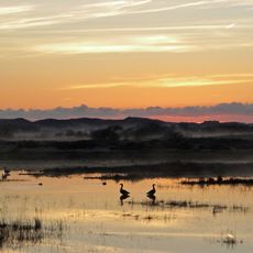
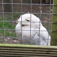
The Dunes of Texel National Park contains heathlands, woodlands, and swamps that provide habitat for numerous bird species throughout the year. Much of the dune landscape has remained free from development, allowing wild rabbits and foxes to roam freely.

The community of curious travelers

AroundUs brings together thousands of curated places, local tips, and hidden gems, enriched daily by 60,000 contributors worldwide.

Start exploring
Location
Elevation above the sea
2 m
Shares border with
Den Helder, Hollands Kroon, Harlingen, Vlieland
Phone
GPS coordinates
53.06667,4.80000
Latest update
December 15, 2025 01:10
Top sights in the Netherlands: off-the-beaten-path places, historic villages and typical scenery

The Netherlands show their best features outside the big cities. This collection takes you to the islands in the North Sea like Texel, Terschelling, or Ameland, where wind, dunes, and tides shape daily life. You will also see the 18th-century windmill rows in Kinderdijk, fishing villages like...

Reviews
Share your experience

No review yet

Discussions
Start a discussion...

No discussion yet

« Texel - Municipality in North Holland, Netherlands » is provided by Around Us (aroundus.com). Images and texts are derived from Wikimedia project under a Creative Commons license. You are allowed to copy, distribute, and modify copies of this page, under the conditions set by the license, as long as this note is clearly visible.

Discover hidden gems everywhere you go!

From secret cafés to breathtaking viewpoints, skip the crowded tourist spots and find places that match your style. Our app makes it easy with voice search, smart filtering, route optimization, and insider tips from travelers worldwide. Download now for the complete mobile experience.

Around Us App Screenshot

A unique approach to discovering new places

Le Figaro

All the places worth exploring

France Info

A tailor-made excursion in just a few clicks

20 Minutes

Around Us
Travel Guide & Maps
Download

Send to your phone

QR Code
1

Open the camera app on your mobile.

2

Point at the QR code with your camera. A notification will appear.

3

Tap the notification to open the link.