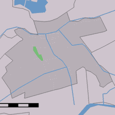
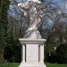
Krimpenerwaard, Polder system in Zuid-Holland, Netherlands.
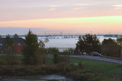
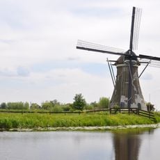
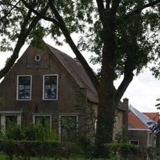
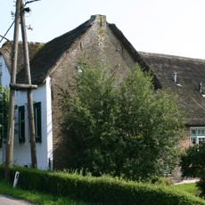
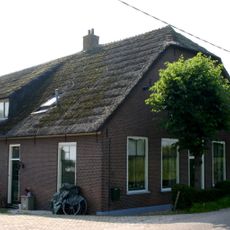
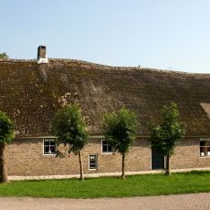
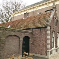
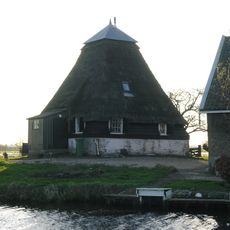
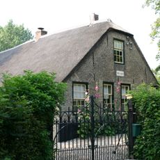
Krimpenerwaard is a polder system in South Holland consisting of reclaimed land divided by a network of ditches and waterways between the Hollandse IJssel and Lek rivers. The landscape features geometrically arranged strips of land bordered by rows of willows lining the drainage channels.
The region began its systematic land reclamation in 944 and continued this process for centuries. Its name comes from 'krimp' meaning river bend and 'waard' meaning river-enclosed land, reflecting its origins shaped by water.
The region sustains traditional Dutch farming methods focused on dairy production, with local farmers managing the narrow strips of land separated by drainage channels. This working landscape reflects how people have shaped the environment over centuries.
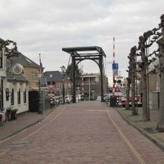
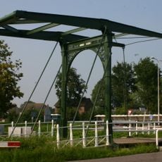
The best way to explore the polder is by bicycle, with numerous cycling paths and walking routes crossing the landscape. A bicycle ferry links Gouderak to Moordrecht across the water, offering a convenient option for visitors.
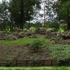
The soil composition of Krimpenerwaard creates a distinctive springy surface underfoot when walking through the area. This sensation results from the way peat and muddy layers lie beneath the cultivated land.
The community of curious travelers
AroundUs brings together thousands of curated places, local tips, and hidden gems, enriched daily by 60,000 contributors worldwide.