Krimpenerwaard, Municipality in South Holland, Netherlands
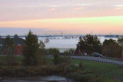
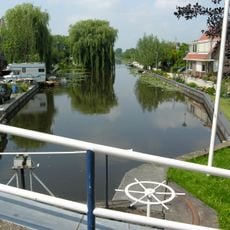
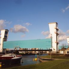
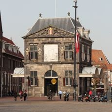
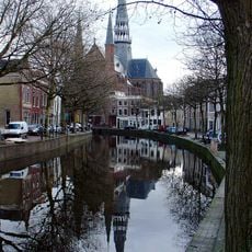
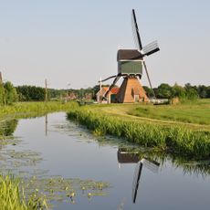
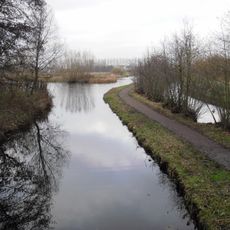
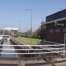
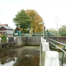
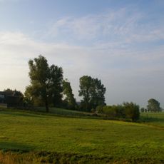
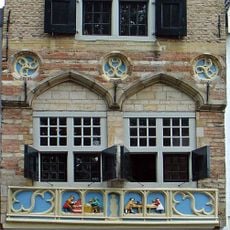
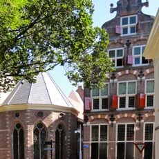
Krimpenerwaard is a municipality in South Holland positioned between two major rivers and shaped by waterways and polders. The area comprises eleven settlements including Schoonhoven, Bergambacht, and Stolwijk spread across this low-lying landscape.
The territory first appeared in records during the 10th century as a name for riverland between dikes. In 2015, five older administrative areas merged to form the current municipality.
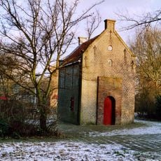
The region carries traces of farming and water-based traditions through its villages and local markets. Visitors notice how the waterways and surrounding countryside shape daily life and the character of each settlement here.
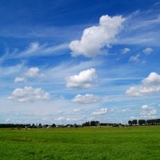
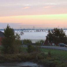
The area is best explored by car or bicycle since settlements are spread across open land. Local roads connect the villages well, and the flat terrain makes cycling a natural way to get around.
The name Krimpenerwaard combines two old words: Krimp referring to a river bend and Waard meaning land between dikes. The term appears in records from 944, showing how the place has long been defined by water and water management.
Location: South Holland
Inception: January 1, 2015
Capital city: Stolwijk
Shares border with: Gouda, Zuidplas, Capelle aan den IJssel, Krimpen aan den IJssel, Ridderkerk, Molenwaard, Lopik, Oudewater, Bodegraven-Reeuwijk
Phone: +310182
Email: info@krimpenerwaard.nl
Website: https://krimpenerwaard.nl
GPS coordinates: 51.98220,4.78167
Latest update: December 7, 2025 19:23
Lowest point of the Netherlands
10 km
Zuidplaspolder
12.2 km
Town hall of Gouda
5.9 km
List of stained glass windows in the Janskerk, Gouda
5.8 km
Goejanverwellesluis
4.1 km
Monument laagste punt van Nederland
10.4 km
Stormvloedkering Hollandse IJssel
15.7 km
Waag, Gouda
5.9 km
Huys ten Donck
16.5 km
Krimpenerwaard
2 m
Kasteel van Gouda
5.4 km
Museum Gouda
5.7 km
Gouwekerk
5.8 km
Bonrepas
5 km
Museum Bisdom van Vliet
2.2 km
Natuurgebied 't Weegje, Waddinxveen
8.6 km
Grafkelder van Nassau-LaLecq
11.3 km
Huis van de Stad
6.5 km
Julianasluis
6.4 km
Mieraskerk
15 km
Slot Capelle
15.3 km
Waaiersluis, Gouda
4.5 km
Goudse Schouwburg
6 km
Huis te Vliet, Oudewater
6.5 km
De Donk
10 km
Grote of Sint-Bartholomeuskerk (Schoonhoven)
6.2 km
Naaierstraat 6, Gouda
6 km
Weeshuis
5.6 kmVisited this place? Tap the stars to rate it and share your experience / photos with the community! Try now! You can cancel it anytime.
Discover hidden gems everywhere you go!
From secret cafés to breathtaking viewpoints, skip the crowded tourist spots and find places that match your style. Our app makes it easy with voice search, smart filtering, route optimization, and insider tips from travelers worldwide. Download now for the complete mobile experience.
A unique approach to discovering new places❞
— Le Figaro
All the places worth exploring❞
— France Info
A tailor-made excursion in just a few clicks❞
— 20 Minutes