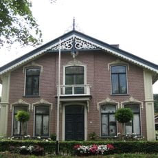
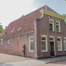
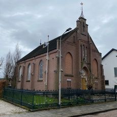
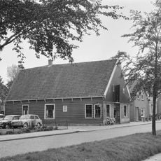
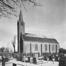
De Weel, Rural settlement in Schagen and Hollands Kroon, Netherlands
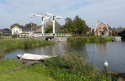
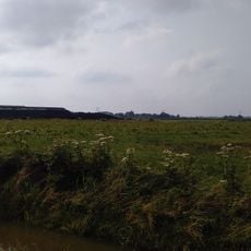
De Weel is a rural settlement spanning both sides of the Boomervaart waterway in the Schagen and Hollands Kroon municipalities. The residential areas lie between the villages of Zijdewind and Waarland, arranged along the waterway's natural path.
The settlement experienced administrative changes in 2012 when Niedorp merged with Hollands Kroon, and again in 2013 when Harenkarspel joined Schagen. These municipal reorganizations shaped the area's current administrative structure.
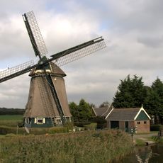
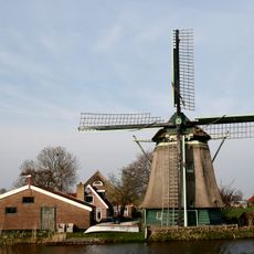
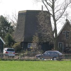
The Boomervaart waterway that flows through the area is part of local recreation routes and connects residents to water-based traditions. The location between nearby villages makes this a natural corridor where the canal shapes daily movement and leisure.
The area is connected via the N9 highway to Schagen and has access to rail services from the nearby Schagen station to major Dutch cities. This proximity to transportation options makes travel to the broader region straightforward.
The settlement is divided between two municipalities, with some properties in Schagen and others in Hollands Kroon despite being one connected residential area. This split governance within a single community is an unusual administrative feature.
The community of curious travelers
AroundUs brings together thousands of curated places, local tips, and hidden gems, enriched daily by 60,000 contributors worldwide.