Hollands Kroon, municipality in the Netherlands
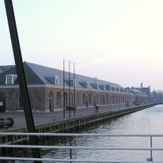
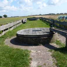
Hollands Kroon is a municipality in the northwest of the Netherlands, formed in 2012 when four smaller administrative areas merged together. The flat terrain is marked by open fields, farms, water bodies, and twenty-two small villages with traditional Dutch architecture and quiet roads.
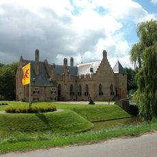
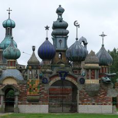
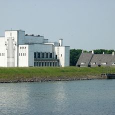
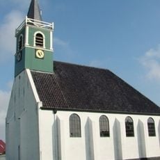
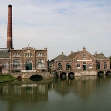
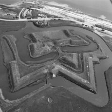
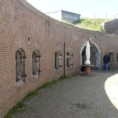
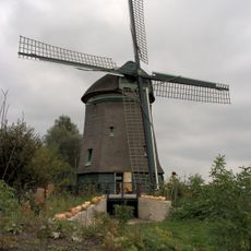
The municipality was formed in 2012 by joining four older administrative units, bringing together villages with separate histories. Several windmills and chapels throughout the area date back centuries and reflect how residents managed water and farmed the land for generations.
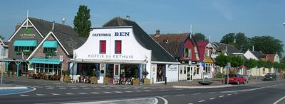
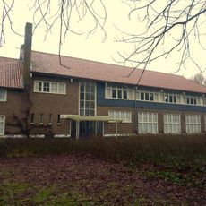
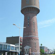
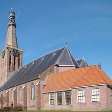
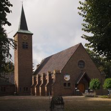
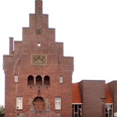
The name Hollands Kroon reflects its identity as the joining of four communities into one territory. The villages retain traditional Dutch architecture with characteristic gabled roofs and farmhouses that define the village centers and show how locals value their built heritage.
The flat terrain is easy to explore by foot or bicycle, with well-marked paths for pedestrians and cyclists throughout the area. Public transportation connects the small villages to larger towns like Alkmaar and Schagen, making it simple to navigate and access nearby services.
Several local farms open their gates to visitors, allowing people to buy fresh produce directly and see how traditional farming works today. These farm visits support local economies and reveal the close connection between residents and the land that shapes daily life here.
The community of curious travelers
AroundUs brings together thousands of curated places, local tips, and hidden gems, enriched daily by 60,000 contributors worldwide.