Enable Location

We need your location to show you interesting places around you

Discover nearby places

Find interesting locations and hidden gems around you

Precise directions

Get accurate directions and distances to places

Your location is never shared with other users. It's only used when you tap the location button.

Wieringermeer

Log in to your account

Start exploring — it's free

Trusted by 63,281 travelers worldwide

Continue with Google
Continue with Apple
or

We will send you a code to connect

By continuing, you accept our Terms and Conditions and our Privacy Policy

Check your inbox

We've sent a pincode in your inbox. Please enter the code below.

Wieringermeer
Discussion Reviews 1 Photos
14.5k Popularity

Wieringermeer, Polder in North Holland, Netherlands

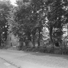
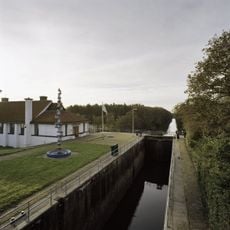
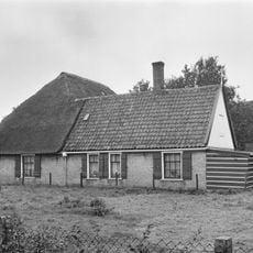
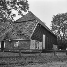
Wieringermeer is a polder comprising reclaimed land with an intricate network of drainage canals and agricultural fields arranged in ordered patterns. The landscape features straightened waterways and divided plots designed for systematic water management and farming.

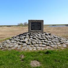
Construction began in 1927 in response to agricultural land shortage, with protective dikes completed by August 1930. This was a major land reclamation project undertaken during the interwar period.

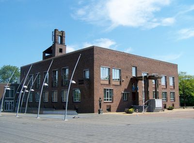
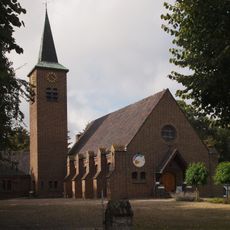
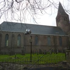
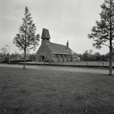
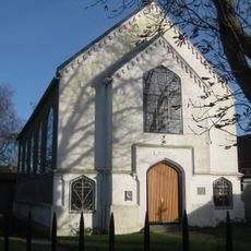
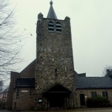
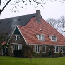
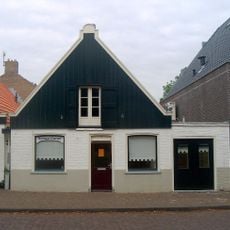
Four planned villages - Slootdorp, Middenmeer, Wieringerwerf, and Kreileroord - were built as intentional communities within the reclaimed territory. These settlements continue to shape daily life and regional identity today.

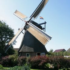
The area is accessible via straight roads characteristic of polders, running alongside canals and through villages. The flat terrain makes it easy to explore by car, bicycle, or on foot, especially along waterways and planned settlements.

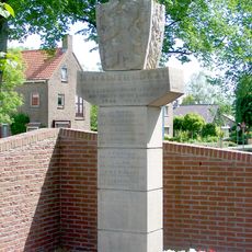
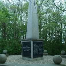
German forces destroyed the dike and flooded the entire area in April 1945, yet within months it was drained and reconstructed. This rapid recovery demonstrates the resilience built into the polder's infrastructure.

The community of curious travelers

AroundUs brings together thousands of curated places, local tips, and hidden gems, enriched daily by 60,000 contributors worldwide.

Start exploring
Location
GPS coordinates
52.85000,5.03000
Latest update
December 18, 2025 11:40
Reviews
Share your experience

No review yet

Discussions
Start a discussion...

No discussion yet

« Wieringermeer - Polder in North Holland, Netherlands » is provided by Around Us (aroundus.com). Images and texts are derived from Wikimedia project under a Creative Commons license. You are allowed to copy, distribute, and modify copies of this page, under the conditions set by the license, as long as this note is clearly visible.

Discover hidden gems everywhere you go!

From secret cafés to breathtaking viewpoints, skip the crowded tourist spots and find places that match your style. Our app makes it easy with voice search, smart filtering, route optimization, and insider tips from travelers worldwide. Download now for the complete mobile experience.

Around Us App Screenshot

A unique approach to discovering new places

Le Figaro

All the places worth exploring

France Info

A tailor-made excursion in just a few clicks

20 Minutes

Around Us
Travel Guide & Maps
Download

Send to your phone

QR Code
1

Open the camera app on your mobile.

2

Point at the QR code with your camera. A notification will appear.

3

Tap the notification to open the link.