
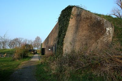
Werk aan de Korte Uitweg, Fort in Houten, Nederland
Location: Houten
Part of: New Dutch Waterline
GPS coordinates: 51.98528,5.15917
Latest update: March 10, 2025 12:56
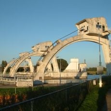
Hagestein weir-lock complex
1.9 km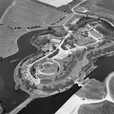
Fort Honswijk
1.2 km
Sint-Michaëlkerk
2 km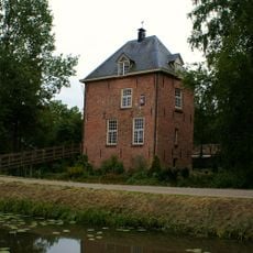
Huis Vuilkoop
1.7 km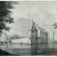
Kasteel Schalkwijk
2.2 km
Werk aan de Waalse Wetering
1.5 km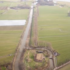
Inundatiekanaal naar Fort Honswijk
554 m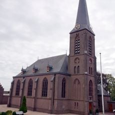
Sint Petrus en Pauluskerk, Everdingen
2.2 km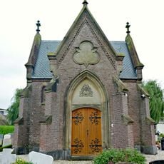
Grafkapel
2 km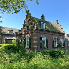
Michaëlschool
596 m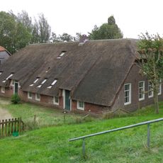
Snellesteyn
731 m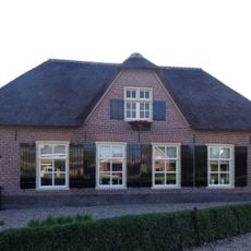
Boerderij, dwarshuis of bakhuis, dakkapel modern
1.8 km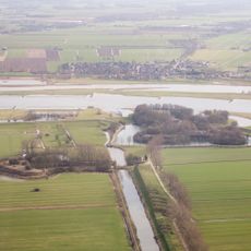
Lunet de Snel
861 m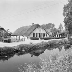
Lagedijk 15, Schalkwijk
1.9 km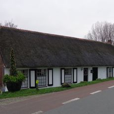
Deels gepleisterde boerderij, onder rieten zadeldak
2 km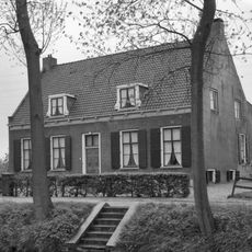
Naast huis Vuilkoop, boerderij, dwarstype, zadeldak in topgevels eindigend, door schoorsteen bekroond
1.7 km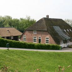
Lekdijk 47, Everdingen
2.1 km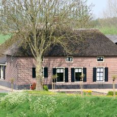
Lekdijk 84, Hagestein
1.7 km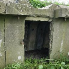
Inundatiekanaal
585 m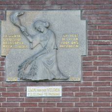
Verzetsmonument
1.8 km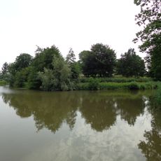
Werk aan de Korte Uitweg: aardwerk
57 m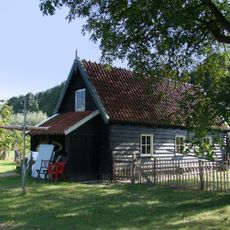
Werk aan de Waalse Wetering
1.5 km
Lekdijk 48, Tull en 't Waal
1.9 km
Werk aan de Korte Uitweg: De Staat
13 m
Lagedijk 1, Schalkwijk
1.7 km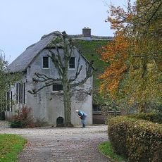
Lagedijk 32, Schalkwijk
2 km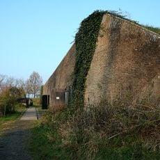
Werk aan de Korte Uitweg: kazerne A
13 m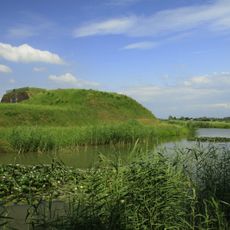
Werk aan de Waalse Wetering
1.5 kmVisited this place? Tap the stars to rate it and share your experience / photos with the community! Try now! You can cancel it anytime.
Discover hidden gems everywhere you go!
From secret cafés to breathtaking viewpoints, skip the crowded tourist spots and find places that match your style. Our app makes it easy with voice search, smart filtering, route optimization, and insider tips from travelers worldwide. Download now for the complete mobile experience.

A unique approach to discovering new places❞
— Le Figaro
All the places worth exploring❞
— France Info
A tailor-made excursion in just a few clicks❞
— 20 Minutes