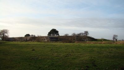
Fort bij Krommeniedijk, Military fort of the Defence Line in Krommeniedijk, Netherlands.
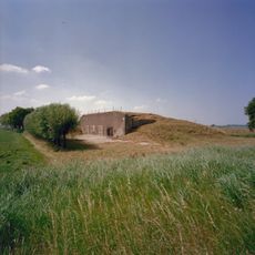
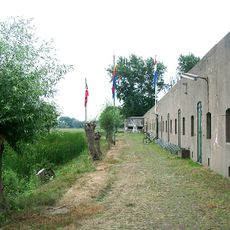
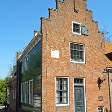
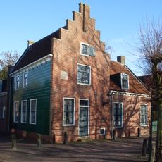
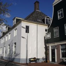
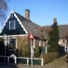
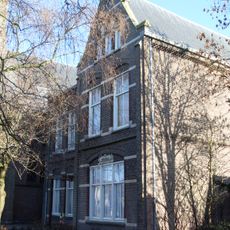
Fort bij Krommeniedijk is a late 19th century military installation that was part of Amsterdam's Defence Line and now serves multiple purposes. The structure includes casemates, accommodation buildings, and surrounding grounds bordered by green spaces and water defenses.
The fort was built in 1897 as part of Amsterdam's defensive system to protect the city from potential invasion. After World War I, the facility gradually lost its military purpose and was later converted for other uses.
The fort's name comes from its location along the Krommeniedijk, a waterway that defines the area's identity. Today it serves as a place where visitors and residents connect with the landscape and learn about the region's strategic importance.
The grounds are accessible via walking paths and offer information through various programs that explain the fort's historical role. Wear comfortable shoes and check opening times before your visit, as conditions can vary with the season.
The fort today uses modern sustainable technologies like solar panels and heat pumps that are integrated discretely into the historic structure. This combination shows how a historical site can meet contemporary needs while maintaining its heritage character.
Part of: Defence Line of Amsterdam
GPS coordinates: 52.51889,4.73583
Latest update: December 14, 2025 18:09
Assum
2.4 km
Krommeniedijk
1.8 km
Busch en Dam
1.8 km
Ham Fort
1.9 km
De Woudaap
2.6 km
De Kat
2.1 km
Onze-Lieve-Vrouw-Geboortekerk
1.7 km
De Corneliszoon
1.2 km
Nederlands Hervormde Kerk, Uitgeest
2 km
De Dog
2.4 km
Dorregeestermolen
3 km
Tweede Broekermolen
1 km
Nederlandse Hervormde Kerk
1 km
Voormalig Raadhuis
2 km
Castricummerweg 6, Uitgeest
2.1 km
Schevelstraat 1, Uitgeest
2 km
Provincialeweg 3, Uitgeest
2.7 km
Nicolaeskerk, Krommenie
3.1 km
Heiligeweg 25, Krommenie
2.9 km
Noorderhoofdstraat 79, Krommenie
3.1 km
Huis onder zadeldak, met rechthoekige plattegrond. Drie verdiepingen, trapgevel aan de voorzijde. Inwendig oorspronkelijke constructie met balken, korbelen en stijlen
2 km
Noorderhoofdstraat 85, Krommenie
3.1 km
Terrein waarin sporen van bewoning
972 m
Weeshuis
3 km
Meldijk 17, Uitgeest
1.8 km
Pastorie gelegen ten zuiden van de kerk O.L.V. Geboorte en hiermee via een laag tussenlid verbonden
1.7 km
Westtoren van de Hervormde Kerk
2 km
Monument 1940-1945
1.8 kmVisited this place? Tap the stars to rate it and share your experience / photos with the community! Try now! You can cancel it anytime.
Discover hidden gems everywhere you go!
From secret cafés to breathtaking viewpoints, skip the crowded tourist spots and find places that match your style. Our app makes it easy with voice search, smart filtering, route optimization, and insider tips from travelers worldwide. Download now for the complete mobile experience.
A unique approach to discovering new places❞
— Le Figaro
All the places worth exploring❞
— France Info
A tailor-made excursion in just a few clicks❞
— 20 Minutes