Busch en Dam, Rural hamlet between Zaanstad and Uitgeest, Netherlands.
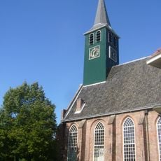
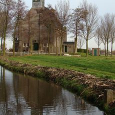
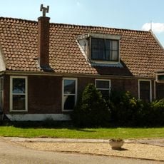
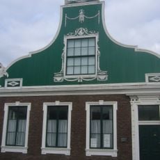
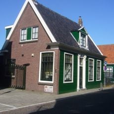
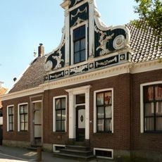
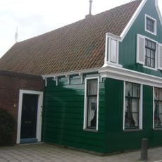
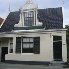
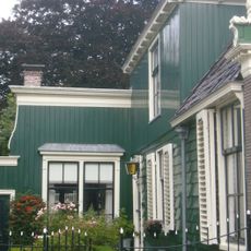
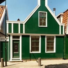
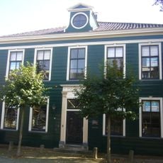
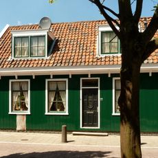
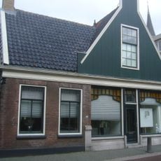
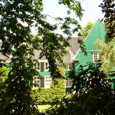
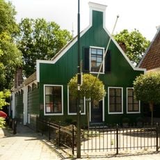
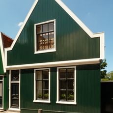
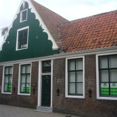
Busch en Dam is a hamlet situated between Zaanstad and Uitgeest and spreads across both sides of the Zuiderham waterway. Traditional farmhouses sit among open fields and pastures that define the Dutch lowland landscape.
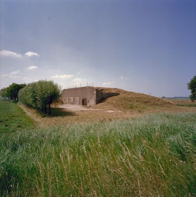
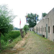
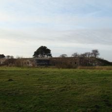
The settlement grew as a farming community in a water-rich region and became more connected to military defenses in the 19th century when Fort aan den Ham was built nearby. This fort was part of the Amsterdam Defense Line and shaped the area's role.
Farming shapes daily life here, with fields and water management systems that reflect how residents have worked the land for generations. The way water flows through the settlement remains central to how the community sees itself.
The hamlet connects to nearby towns through regional roads and bus services link it to larger transportation hubs. Visitors will find a quiet, open setting without major facilities, which is typical for a settlement of this size.
The settlement spans across two separate municipalities, meaning different parts answer to different local governments. This unusual setup offers insight into how administrative boundaries can divide a single community.
Location: Zaanstad
Location: Uitgeest
GPS coordinates: 52.50280,4.74110
Latest update: December 14, 2025 17:02
SolaRoad
2 km
Krommeniedijk
2.1 km
Ham Fort
406 m
Fort bij Krommeniedijk
1.8 km
Nicolaaskerk
1.9 km
Nederlandse Hervormde Kerk
1.7 km
Raadhuis
1.9 km
Doopsgezinde Vermaning
2 km
Heiligeweg 25, Krommenie
1.7 km
Nicolaeskerk, Krommenie
2.1 km
Noorderhoofdstraat 26, Krommenie
2 km
Noorderhoofdstraat 37, Krommenie
2 km
Noorderhoofdstraat 74, Krommenie
2 km
Noorderhoofdstraat 140, Krommenie
2.1 km
Zuiderhoofdstraat 115, Krommenie
1.9 km
Zuiderhoofdstraat 65, Krommenie
1.9 km
Monument aan de N.H. Kerk
1.9 km
Noorderhoofdstraat 79, Krommenie
2 km
Zuiderhoofdstraat 70, Krommenie
1.9 km
Noorderhoofdstraat 77, Krommenie
2 km
Zuiderhoofdstraat 137, Krommenie
1.9 km
Grotendeels houten huis, waarvan het zadeldak wordt afgesloten door een houten topgevel met uitgeschulpte windveren. Bakstenen pui
1.9 km
't Blauwe End
2 km
Houten huis door een langgerekte vleugel verbonden met een vierkant tuinhuisje
2.1 km
Noorderhoofdstraat 85, Krommenie
2 km
Noorderhoofdstraat 45, Krommenie
2 km
Terrein waarin sporen van bewoning
925 m
Verblifa-monument
1.9 kmVisited this place? Tap the stars to rate it and share your experience / photos with the community! Try now! You can cancel it anytime.
Discover hidden gems everywhere you go!
From secret cafés to breathtaking viewpoints, skip the crowded tourist spots and find places that match your style. Our app makes it easy with voice search, smart filtering, route optimization, and insider tips from travelers worldwide. Download now for the complete mobile experience.
A unique approach to discovering new places❞
— Le Figaro
All the places worth exploring❞
— France Info
A tailor-made excursion in just a few clicks❞
— 20 Minutes