
Zouteveense- en Holiërhoekse Poldergemaal, bouwwerk in Midden-Delfland
Location: Midden-Delfland
Inception: 1883
GPS coordinates: 51.94755,4.32094
Latest update: March 5, 2025 03:30


Broekpolder
1.3 km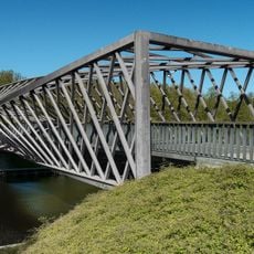
Vlaardingse Vaart Bridge
3 km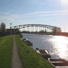
Trambrug (Schipluiden)
2.8 km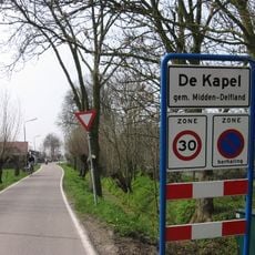
De Kapel
985 m
De Korpershoek
2.9 km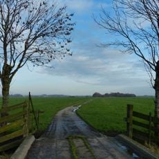
Eendenkooi Schipluiden
2.5 km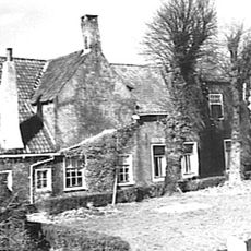
Oostgaag 55, Maasland
2 km
Oostgaag 43, Maasland
2.3 km
Commandeurskade 46, Maasland
3 km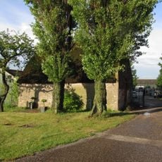
Gaagweg 11, Schipluiden
2.2 km
Vrijburg
2.7 km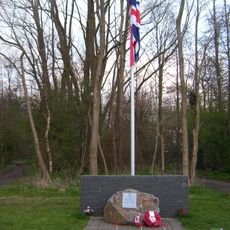
Wellington-Monument
2.2 km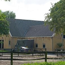
Boerderij op T-vormige plattegrond met aan de achterzijde van het langgerekte bedrijfsgedeelte een dwarsgeplaatste schuur
3.1 km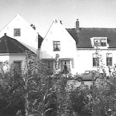
Oostgaag 13, Maasland
2.8 km
Meerzicht, Schipluiden
899 m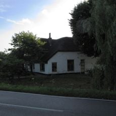
Gaagweg 36, Schipluiden
2.3 km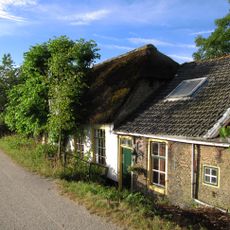
Vlaardingse Schouw, Schipluiden
35 m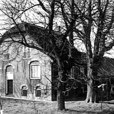
Oostgaag 49, Maasland
2.1 km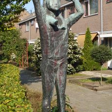
Father and Child
3 km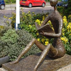
Lezend kind
2.9 km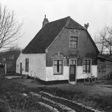
Westgaag 2
3 km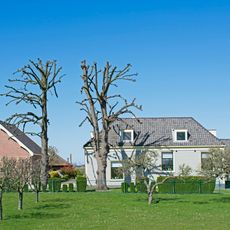
Schuur
2.3 km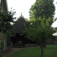
Oostveenseweg 7, Schipluiden
1.4 km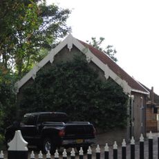
Oostveenseweg 7: wagenschuur
1.4 km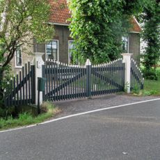
Oostveenseweg 7: houten hek dat de toegang vormt naar het erf van het boerderijcomplex
1.4 km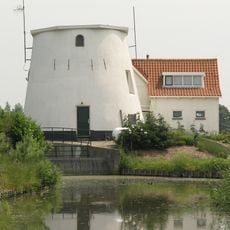
Kralingerpolder
2.8 km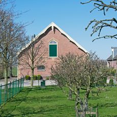
Schuur
2.3 km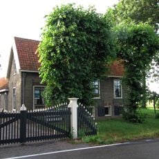
Oostveenseweg 7: boerderij van het dwarshuistype in Ambachtelijk-traditionele bouwtrant
1.4 kmReviews
Visited this place? Tap the stars to rate it and share your experience / photos with the community! Try now! You can cancel it anytime.
Discover hidden gems everywhere you go!
From secret cafés to breathtaking viewpoints, skip the crowded tourist spots and find places that match your style. Our app makes it easy with voice search, smart filtering, route optimization, and insider tips from travelers worldwide. Download now for the complete mobile experience.

A unique approach to discovering new places❞
— Le Figaro
All the places worth exploring❞
— France Info
A tailor-made excursion in just a few clicks❞
— 20 Minutes