
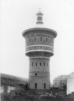
Water tower, Utrecht Riouwstraat
Location: Utrecht
Architects: Lucas Christiaan Dumont
GPS coordinates: 52.09047,5.10144
Latest update: March 4, 2025 16:42
Beatrix Theater
445 m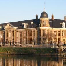
Museum of Money
499 m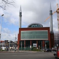
Ulu Mosque
250 m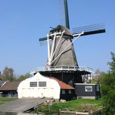
De Ster
103 m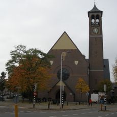
Antoniuskerk
333 m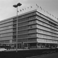
Beatrixgebouw
443 m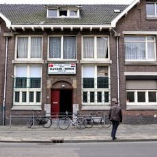
Badhuis Kanaalstraat
233 m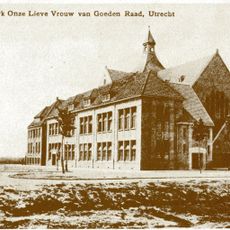
Onze-Lieve-Vrouw-van-Goede-Raadkerk
496 m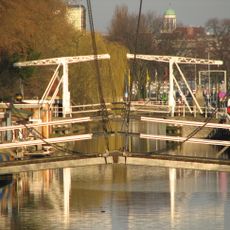
Jan Pieterszoon Coenbrug
287 m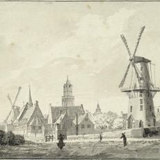
De Kat
387 m
Lubbenes
490 m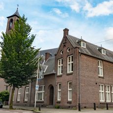
Kanaalstraat 200, Utrecht
366 m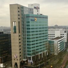
Croeselaan 1
275 m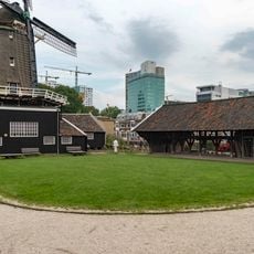
Terrein van "de Ster": molenerf
131 m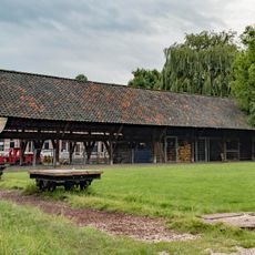
Terrein van "de Ster": zuidelijke houtloods
136 m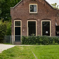
Terrein van "de Ster": knechtswoning
127 m
Galaxy Tower
406 m
Van Sijpesteijnkade 25, Utrecht
402 m
Arrivals / Departures
506 m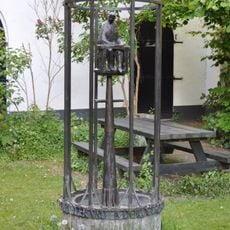
Ambtenaar
369 m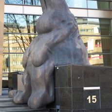
Zittend konijn
329 m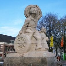
Het verkeer
189 m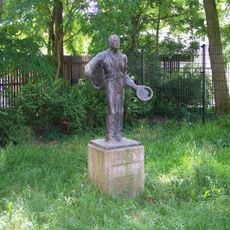
Nikkelen Nelis
462 m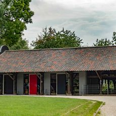
Terrein van "de Ster": westelijke open houtloods afkomstig van molen "De Bijgeval"
146 m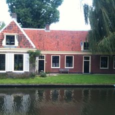
Terrein van "de Ster": molenaarshuis
163 m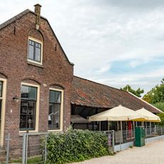
Terrein van "de Ster": noordelijk houtloods
113 m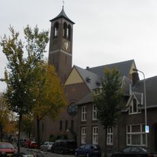
Antonius von Padua
356 m
Laag huis met rechte gootlijst
163 mVisited this place? Tap the stars to rate it and share your experience / photos with the community! Try now! You can cancel it anytime.
Discover hidden gems everywhere you go!
From secret cafés to breathtaking viewpoints, skip the crowded tourist spots and find places that match your style. Our app makes it easy with voice search, smart filtering, route optimization, and insider tips from travelers worldwide. Download now for the complete mobile experience.

A unique approach to discovering new places❞
— Le Figaro
All the places worth exploring❞
— France Info
A tailor-made excursion in just a few clicks❞
— 20 Minutes