Cillaarshoek, Rural hamlet in Hoeksche Waard, Netherlands.
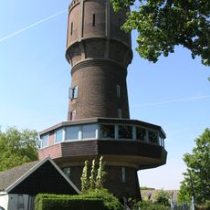
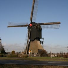
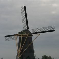
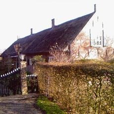
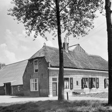
Cillaarshoek is a linear rural hamlet stretching along the Keizersdijk, connecting the municipalities of Strijen and Maasdam. The settlement sits within a landscape of agricultural fields, embankments, and waterways that define the flat Dutch polder terrain.
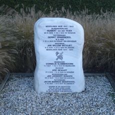
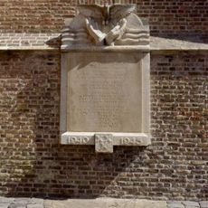
The hamlet was founded after the 1421 flood when residents from the destroyed village of Weede resettled along the ring dike of the Groote Waard. This establishment represented a strategy to rebuild communities in safer locations.
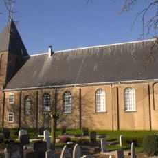
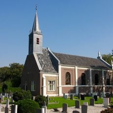
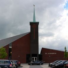
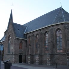
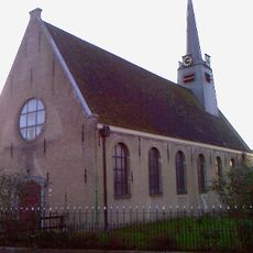
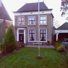
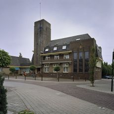
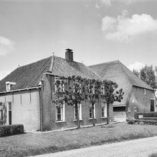
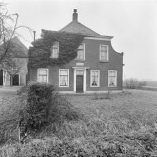
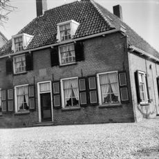
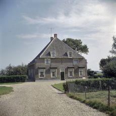
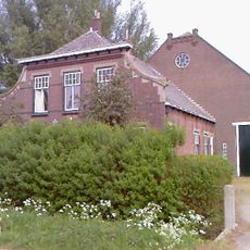
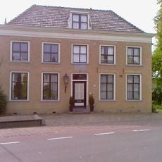
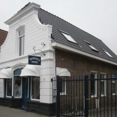
The church and adjoining parsonage stand as national monuments displaying traditional Dutch religious architecture of brick and timber. Both buildings shape the local landscape and reflect the community's religious heritage.
The hamlet connects to neighboring communities through a network of local roads, giving residents and visitors access to services in surrounding municipalities. The flat terrain makes the area easy to navigate by bicycle.
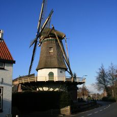
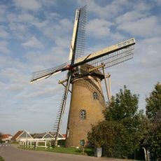
The Keizersdijk was named after Emperor Charles V and functioned for centuries as a major trade route connecting Amsterdam and Paris. Travelers relied on this embankment road as the principal way through the Dutch landscape.
The community of curious travelers
AroundUs brings together thousands of curated places, local tips, and hidden gems, enriched daily by 60,000 contributors worldwide.