't Haantje, Residential hamlet in Rijswijk, Netherlands
't Haantje is a small residential hamlet in Rijswijk situated in the Plaspoelpolder region, composed mainly of houses and local streets. The settlement sits near the boundaries with neighboring municipalities and is crossed by main roads like Lange Kleiweg.
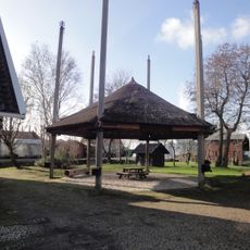
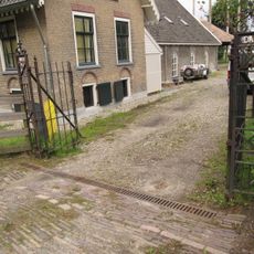
The name comes from an old inn that once stood at the junction of Lange Kleiweg and Jaagpad, marking the boundary with neighboring Delft. This historic landmark shaped the identity of this residential area over time.
The neighborhood maintains strong agricultural traditions while adapting to modern residential developments through regular community markets and local gatherings.
The hamlet is easily reached by car through local roads and offers adequate parking throughout the neighborhood. Pedestrians and cyclists can explore the area comfortably since streets are relatively flat and well-organized.
A former railway crossing was replaced with an underpass in the early 2020s to handle increasing train frequency on the line. This infrastructure change altered how residents and visitors move through the area.
Location: Rijswijk
GPS coordinates: 52.01970,4.34083
Latest update: December 14, 2025 17:41
Water tower in Delft
777 m
Altena
378 m
De Lindenhof
530 m
VermeerToren
798 m
Pastoor van Arskerk
789 m
Kalverbos
780 m
Watertoren
640 m
Kolenhaven
424 m
Lepel bridge
703 m
Gemeenschapshuis Agnetapark
617 m
Kantoorgebouw Koninklijke Nederlandsche Gist- en Spiritusfabriek
625 m
Ruys de Beerenbrouckstraat 47, Delft
792 m
Water Carriers
769 m
Boerderij Breedam: stal (noordelijk)
411 m
Monument tegen de kinderarbeid
529 m
J.C. van Marken
544 m
Fluisterheuvels
724 m
Agneta van Marken-Matthes
531 m
Haantje 11
411 m
Dienstwoning voormalige Gemeentelijke Begraafplaats Haagpoort
751 m
Boerderij Breedam: stal (zuidelijk)
411 m
Boerderij Breedam: hooiberg
411 m
Boerderij Breedam: paardenstal annex karnschuur
411 m
Dienstwoning watertorencomplex
650 m
Restant van de in 1829 op het voormalige bastion bij de Haag(se)poort, het huidige Kalverbos, aangelegde gemeentelijke begraafplaats. Vier graven, waaronder het graf Karl Wilhelm Naundorff
789 m
Pompgebouw
776 m
Boerderij Breedam: toegangshek
426 m
Oorlogsmonument
186 mVisited this place? Tap the stars to rate it and share your experience / photos with the community! Try now! You can cancel it anytime.
Discover hidden gems everywhere you go!
From secret cafés to breathtaking viewpoints, skip the crowded tourist spots and find places that match your style. Our app makes it easy with voice search, smart filtering, route optimization, and insider tips from travelers worldwide. Download now for the complete mobile experience.
A unique approach to discovering new places❞
— Le Figaro
All the places worth exploring❞
— France Info
A tailor-made excursion in just a few clicks❞
— 20 Minutes