Chest opened
+${chestReward.xp} XP
Explorer
NOUVEAU ×${chestReward.collectible.quantity}
tapez pour fermer
Chest locked

Open chests in the app

Around Us is built for your phone — chests unlock when you walk, explore and capture nearby places.

Enable Location

We need your location to show you interesting places around you

Discover nearby places

Find interesting locations and hidden gems around you

Precise directions

Get accurate directions and distances to places

Your location is never shared with other users. It's only used when you tap the location button.

Log in to your account

Start exploring — it's free

Trusted by 72,878 travelers worldwide

Continue with Google
Continue with Apple
or

We will send you a code to connect

By continuing, you accept our Terms and Conditions and our Privacy Policy

Check your inbox

We've sent a pincode in your inbox. Please enter the code below.

Keizersveer
Discussion Reviews Photo
1.6k Popularity

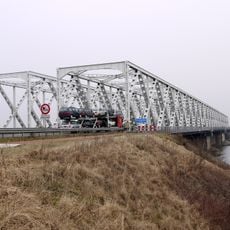
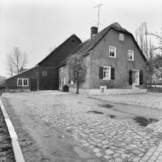
Keizersveer, Rural hamlet between Geertruidenberg and Altena, Netherlands

Keizersveer is a small rural settlement in North Brabant positioned where two waterways meet and form a strategic point in the region's water management system. The location between river branches serves as a key site for controlling water flow across the landscape.

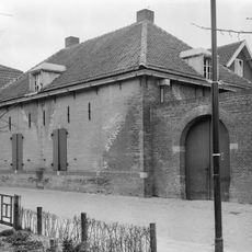
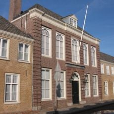
The place got its name when Napoleon Bonaparte crossed the Maas River here in 1811, marking a significant moment in European history. A military barracks was later built at this location, reflecting its strategic importance during the 20th century.

The former Pontonnierskazerne military base served as a crucial operations center during the catastrophic North Sea Flood of 1953.

The place is accessible via a main road that winds through the flat Brabant landscape and offers good connections to nearby towns. The best time to visit is during dry weather, as the area is low-lying and prone to flooding.

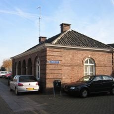
A pumping station on site plays a daily role in water management and demonstrates Dutch expertise in controlling water levels across the flat landscape. This infrastructure continuously works to balance flow between river branches and man-made channels.

The community of curious travelers

AroundUs brings together thousands of curated places, local tips, and hidden gems, enriched daily by 60,000 contributors worldwide.

Start exploring
Location
Location
GPS coordinates
51.71560,4.89330
Latest update
December 14, 2025 14:25
Reviews
Share your experience

No review yet

Discussions
Start a discussion...

No discussion yet

« Keizersveer - Rural hamlet between Geertruidenberg and Altena, Netherlands » is provided by Around Us (aroundus.com). Images and texts are derived from Wikimedia project under a Creative Commons license. You are allowed to copy, distribute, and modify copies of this page, under the conditions set by the license, as long as this note is clearly visible.

Discover hidden gems everywhere you go!

From secret cafés to breathtaking viewpoints, skip the crowded tourist spots and find places that match your style. Our app makes it easy with voice search, smart filtering, route optimization, and insider tips from travelers worldwide. Download now for the complete mobile experience.

Around Us App Screenshot

A unique approach to discovering new places

Le Figaro

All the places worth exploring

France Info

A tailor-made excursion in just a few clicks

20 Minutes

Around Us
Travel Guide & Maps
Download

Send to your phone

QR Code
1

Open the camera app on your mobile.

2

Point at the QR code with your camera. A notification will appear.

3

Tap the notification to open the link.