Zeeland Islands, Maritime archipelago in southwest Netherlands
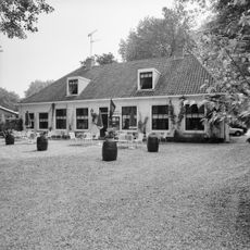
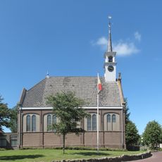
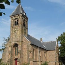
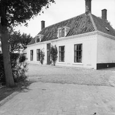
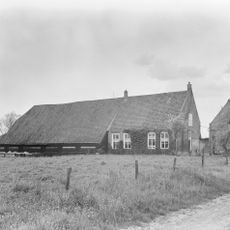
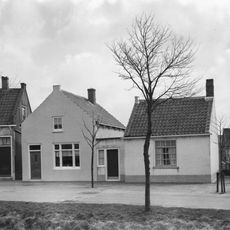
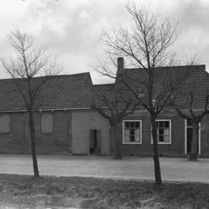
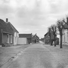
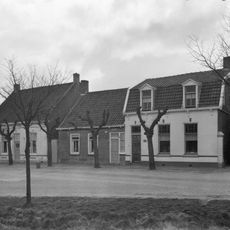
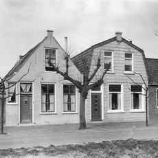
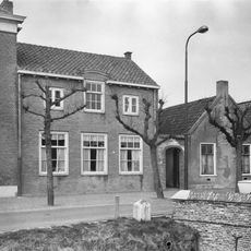
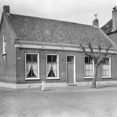
The Zeeland Islands are six landmasses in southwest Netherlands connected by bridges and dikes: Schouwen-Duiveland, Tholen, Noord-Beveland, Walcheren, Zuid-Beveland, and Sint Philipsland. The landscape is shaped by extensive fields producing cereals, potatoes, and sugar beets, while coastal waters support mussel and oyster farming.
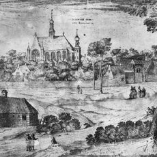
The region formed through a process of land reclamation, where water was pushed back by dikes and polders to enable settlements. The 1953 North Sea disaster, when the sea breached the dikes and killed over 1,800 people, prompted the ambitious Delta Works project, which reshaped the region with modern flood defenses.
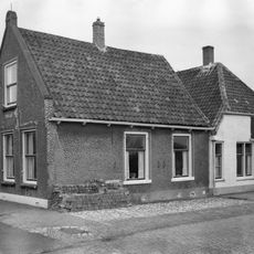
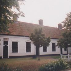
The relationship with water shapes daily life here: dikes are everywhere, fishing and shellfish farming define the landscape, and people have built their lives around managing the sea. This constant interaction has become part of the regional identity.
The islands are easily accessible by road and bridges, making them suitable for exploration by car or bicycle, especially given the flat terrain. Plan for longer travel times between individual islands, as connecting roads pass through dikes and polders.
The Delta Works system is not just a flood barrier but also created artificial lakes that now serve as recreation areas and water sports venues. These lakes are regularly used by locals and visitors for sailing, swimming, and other activities.
The community of curious travelers
AroundUs brings together thousands of curated places, local tips, and hidden gems, enriched daily by 60,000 contributors worldwide.