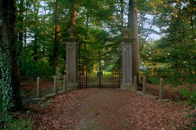
Lambalgen, Nature area in Utrecht Province, Netherlands
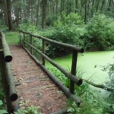
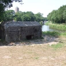
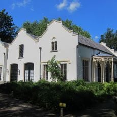
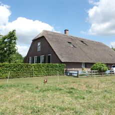
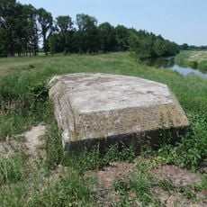
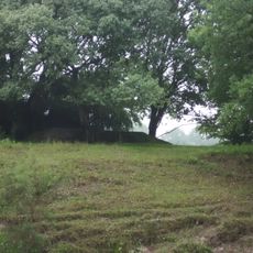
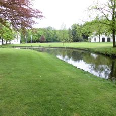
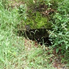
Lambalgen is a nature area in Utrecht Province with meadows, forests, and wetlands that create different habitats. The landscape is crossed by water channels and supports a range of plant and animal species throughout the year.
The area became a protected zone during the mid-20th century when the Netherlands began protecting natural landscapes. This move was part of a broader effort to safeguard threatened habitats.
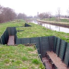
The area shows how Dutch people have managed land by balancing farming and nature for generations. Walking through, you notice water channels that serve both practical purposes and provide homes for wildlife.
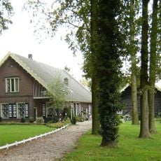
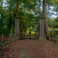
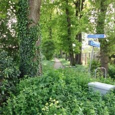
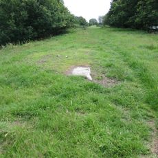
You can enter from several directions, with marked paths for walking and cycling throughout the site. Spring and summer are the best times to visit, when paths are dry and wildlife is most active.
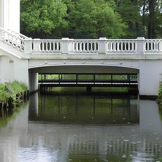
The site uses traditional Dutch water management techniques to prevent flooding while creating habitats for animals and plants. This blend of practical engineering and nature makes it a working example of how people live with water in flat lands.
GPS coordinates: 52.06944,5.47444
Latest update: December 14, 2025 16:46
Grebbe Line
1.3 km
Huis Scherpenzeel
1.4 km
Landgoed Scherpenzeel
1.4 km
Broekerbos
1.2 km
Lambalgen
145 m
Huis Scherpenzeel: toegangsbrug
1.4 km
Kazemat GL106A tussen de Lambalgseweg en de Broekerweg
174 m
Boerderij Het Dorp Vlieterweg 11
1.2 km
Kazemat GL094 tussen de Pothbrug en de Brinkanterweg
1.4 km
Kazemat GL103 tussen de Lambalgseweg en de Broekerweg
267 m
Lambalgerkeerkade
813 m
Het Dorp: houten schuur
1.2 km
Huis Scherpenzeel: koetshuis
1.3 km
Hoeve de Beek: boerderij
1.2 km
Huis Scherpenzeel: dienstwoning
1.5 km
Kazemat GL098 tussen de Brinkanterweg en de Lambagseweg
747 m
Kazemat GL102 tussen de Brinkanterweg en de Lambagseweg
334 m
Huis Scherpenzeel: toegangshekken
1.4 km
Kazemat GL106 tussen de Lambalgseweg en de Broekerweg
227 m
Kazemat GLR17 tussen de Lambalgseweg en de Broekerweg
192 m
Huis Scherpenzeel: Park
1.3 km
Kazemat GL108 tussen de Lambalgseweg en de Broekerweg
250 m
Kazemat GLR18 tussen de Broekerweg en Leersum (gemeente Utrechtse Heuvelrug)
1.1 km
Kazemat GL112 tussen de Broekerweg en Leersum (gemeente Utrechtse Heuvelrug)
1.1 km
Kazemat GL107 tussen de Lambalgseweg en de Broekerweg
171 m
Kazemat GL113 tussen de Broekerweg en Leersum (gemeente Utrechtse Heuvelrug)
1.4 km
Kazemat GLK01 tussen de Brinkanterweg en de Lambagseweg
314 m
Verzetsmonument
1.2 kmVisited this place? Tap the stars to rate it and share your experience / photos with the community! Try now! You can cancel it anytime.
Discover hidden gems everywhere you go!
From secret cafés to breathtaking viewpoints, skip the crowded tourist spots and find places that match your style. Our app makes it easy with voice search, smart filtering, route optimization, and insider tips from travelers worldwide. Download now for the complete mobile experience.
A unique approach to discovering new places❞
— Le Figaro
All the places worth exploring❞
— France Info
A tailor-made excursion in just a few clicks❞
— 20 Minutes