Oostveen, Peat bog in Utrecht province, Netherlands
Oostveen is a peat bog in Utrecht province that stretches along the Vecht River from west to east. The wetland sits adjacent to several settlements including Breukeleveen, Tienhoven, and Maarsseveen, forming a broad landscape of water and soft ground.
The area was governed by the Domproosdij of Utrecht, a church institution with administrative authority, until the end of the 18th century. Reforms after 1795 transformed these feudal holdings into modern municipalities with new boundaries.
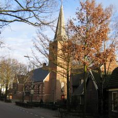
The settlement of Voordorp featured a chapel with a blue interior from the 15th century, which shaped how locals identified the area and gave it the name Blauwkapel.
A cycling path called Oostveense pad runs south of Maartensdijk toward the Voordaan forest alongside the modern A27 highway. Wear appropriate footwear since the ground is soft and often wet.
During the 19th century, this region became temporarily the largest municipality in the Netherlands despite consisting mainly of water and soft peat land. Such an unusual expanse reflected the administrative organization of that era.
The community of curious travelers
AroundUs brings together thousands of curated places, local tips, and hidden gems, enriched daily by 60,000 contributors worldwide.