Kasteel Crayestein, Medieval fortress ruins in Sliedrecht, Netherlands
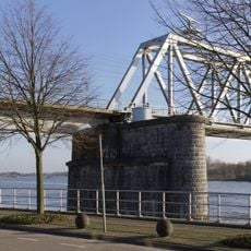
Kasteel Crayestein is a medieval fortress whose stone foundations now rest submerged beneath the Merwede River. Built around 1250 as a rectangular stone structure, it once stood at the water's edge near Sliedrecht.
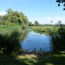
The fortress was built in the High Middle Ages and remained visible in records through the 1500s before gradually disappearing beneath the water. By the end of the 1500s it had sunk completely below the surface.
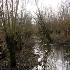
The castle was a hunting lodge where nobles gathered for falconry in the surrounding marshlands. This practice connected the local lords to the land and shaped how they spent their time in the region.
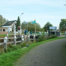
The site is now buried under the river and the surrounding port area, though it is marked by modern landmarks nearby. You can view the location from the waterside or from paths along Baanhoekweg where interpretation markers exist.
During excavations in the 1800s, workers uncovered a carved stone lion from the ruins that now sits in the Rijksmuseum in Amsterdam. This sculpture is one of the few surviving artworks that originally stood at the fortress.
GPS coordinates: 51.81353,4.77051
Latest update: December 14, 2025 16:44
Hollandse Biesbosch
3.7 km
Baanhoekbrug
2.2 km
Helsluis
878 m
Sliedrechtse Biesbosch
2.5 km
Ottersluis
2.4 km
Beth-El Church (Sliedrecht)
759 m
National Dredging Museum
1.6 km
Watertoren (Sliedrecht)
2.1 km
Watertoren
3.3 km
Merwedehaven
3.9 km
Public Observatory Mercury
284 m
Onze-Lieve-Vrouw van Altijddurende Bijstandkerk (Sliedrecht)
1.6 km
Nederlands Hervormde Kerk, Wijgaarden
3.5 km
Raadhuis
750 m
Nederlands Hervormde Kerk (Sliedrecht)
963 m
Rivierdijk 470, Sliedrecht
853 m
Kerkbuurt 99, Sliedrecht
859 m
Plaquette voor Merwedegijzelaars
946 m
Monument Merwedegijzelaars
420 m
Merwelanden 33, Dordrecht
892 m
Oorlogsmonument
1.1 km
Crescent
2.7 km
Woonhuis van het type dijkhuis gebouwd in Traditioneel Ambachtelijke stijl met elementen uit het Classicisme
1.6 km
Nationaal Baggermuseum
1.5 km
Crossline-monument
553 m
Gedenksteen van het Rode Kruis
950 m
Boerderij van het dwarsdeeltype met een T-vormige plattegrond. Het pand is gebouwd in Traditioneel Ambachtelijke stijl
2.4 km
Indië-monument
950 mVisited this place? Tap the stars to rate it and share your experience / photos with the community! Try now! You can cancel it anytime.
Discover hidden gems everywhere you go!
From secret cafés to breathtaking viewpoints, skip the crowded tourist spots and find places that match your style. Our app makes it easy with voice search, smart filtering, route optimization, and insider tips from travelers worldwide. Download now for the complete mobile experience.
A unique approach to discovering new places❞
— Le Figaro
All the places worth exploring❞
— France Info
A tailor-made excursion in just a few clicks❞
— 20 Minutes