
Town hall of Houten, Netherlands
Location: Houten
Inception: November 1987
GPS coordinates: 52.03438,5.16680
Latest update: March 5, 2025 00:21

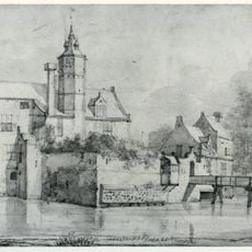
Wulven
2 km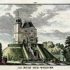
Oud Wulven, Houten
1.3 km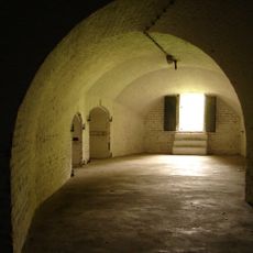
Fort Het Hemeltje
2.2 km
Onze Lieve Vrouwe ten Hemelopneming, Houten
877 m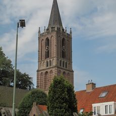
Nederlands Hervormde Kerk, Houten
842 m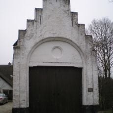
De Steenen Poort
1.4 km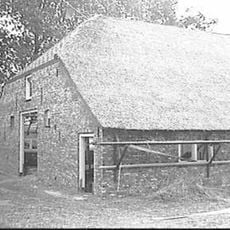
Boerderij Overdam, Houten
2.2 km
Fort het Hemeltje: Waarnemingsposten
2.2 km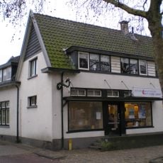
Plein 14, Houten
926 m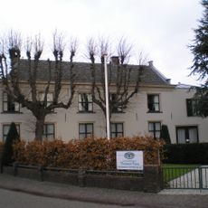
Koningin Julianastraat 2, Houten
919 m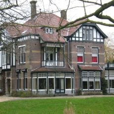
Herenweg 33, Houten
800 m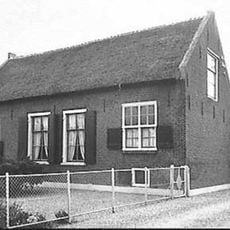
Leedijk 1, Houten
2.1 km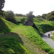
Fort 't Hemeltje, aardwerk
2.1 km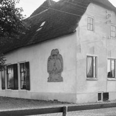
Koedijk 1, Houten
1.9 km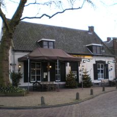
Plein 21, Houten
859 m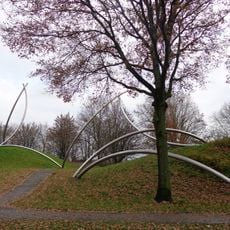
C.y.f.
837 m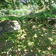
Fort het Hemeltje: Gietstaling koepelkazematten type G
2.2 km
Burgemeester Wallerweg 3-5, Houten
833 m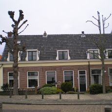
Laag huis met zadeldak
840 m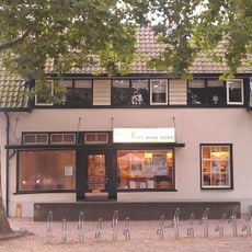
Plein 15, Houten
926 m
Burgemeester Wallerweg 2, Houten
879 m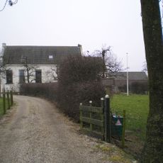
Oudwulverbroek, Houten
1.3 km
Plein 25, Houten
842 m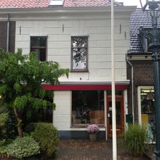
Plein 24, Houten
841 m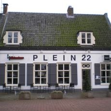
Plein 22, Houten
840 m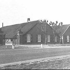
Heemstede: toegangshek met twee hekpijlers
1.3 km
Pand met topgevel, gepleisterd
889 m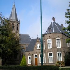
Loerikseweg 12, Houten
880 mVisited this place? Tap the stars to rate it and share your experience / photos with the community! Try now! You can cancel it anytime.
Discover hidden gems everywhere you go!
From secret cafés to breathtaking viewpoints, skip the crowded tourist spots and find places that match your style. Our app makes it easy with voice search, smart filtering, route optimization, and insider tips from travelers worldwide. Download now for the complete mobile experience.

A unique approach to discovering new places❞
— Le Figaro
All the places worth exploring❞
— France Info
A tailor-made excursion in just a few clicks❞
— 20 Minutes