
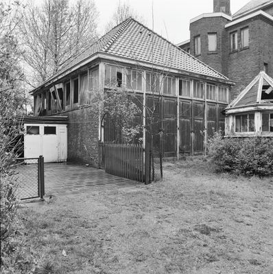
Stoop's Bad: ontijzeringsgebouw, building in Bloemendaal, Netherlands
Location: Bloemendaal
Part of: Stoop's Bad
Address: Adriaan Stoopplein 8 2051KA 2051KA
GPS coordinates: 52.39065,4.62165
Latest update: March 8, 2025 19:44
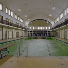
Stoop's Bad
22 m
Heilig-Hartkerk
696 m
Mons Aurea, Garenkokerskade
793 m
Kenaubrug
757 m
Verspronckbrug
724 m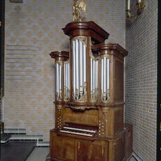
Kabinetorgel Künckel Haarlem
806 m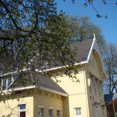
Staten Bolwerk bij 1, Haarlem
748 m
Woningblok van 13 woningen
718 m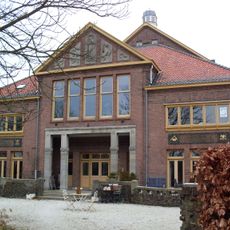
Main building
10 m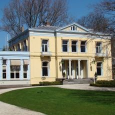
Staten Bolwerk 1, Haarlem
751 m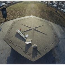
Fokker Monument
721 m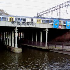
Viaduct Kinderhuissingel
742 m
Former warehouse Olympia
723 m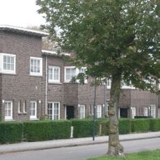
Brouwerskade 59-77, Haarlem
783 m
Woningblok van 14 woningen
722 m
Woningblok van 3 woningen
615 m
Woningblok van 2 woningen
630 m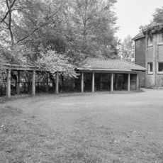
Stoop's Bad: fietsstalling
10 m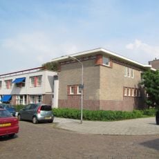
Coöperatie Vooruitgang
748 m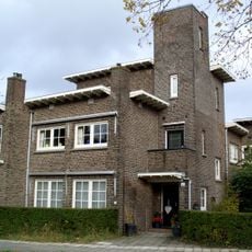
Hoofmanstraat 12, Haarlem
677 m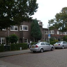
Hoofmanstraat 14-72, Haarlem
621 m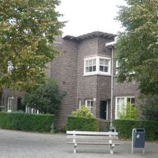
Woningblok van 4 woningen
747 m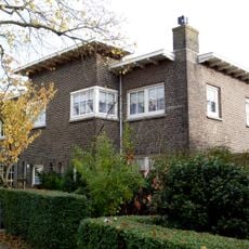
Woningblok van 4 woningen
640 m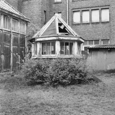
Stoop's Bad: vacuumgebouwtje
0 m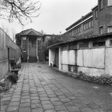
Stoop's Bad: badmeesterswoning
61 m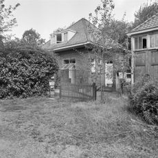
Stoop's Bad: machinistenwoning
28 m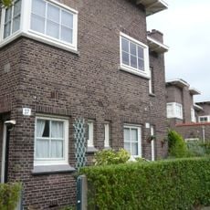
Woningblok van 14 woningen
774 m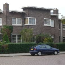
Woningblok van 4 woningen
753 mReviews
Visited this place? Tap the stars to rate it and share your experience / photos with the community! Try now! You can cancel it anytime.
Discover hidden gems everywhere you go!
From secret cafés to breathtaking viewpoints, skip the crowded tourist spots and find places that match your style. Our app makes it easy with voice search, smart filtering, route optimization, and insider tips from travelers worldwide. Download now for the complete mobile experience.

A unique approach to discovering new places❞
— Le Figaro
All the places worth exploring❞
— France Info
A tailor-made excursion in just a few clicks❞
— 20 Minutes