
Area with traces of a building and habitation south of Oude Trichterweg near Lemiers
Area with traces of a building and habitation south of Oude Trichterweg near Lemiers, archaeological site at Lemiers, Netherlands
Location: Vaals
Address: Terrein ten zuiden Oude Trichterweg
GPS coordinates: 50.78973,5.97877
Latest update: March 3, 2025 02:17

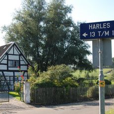
Harles
939 m
Sint-Catharina en Luciakerk
1 km
Hoeve Mamelis
896 m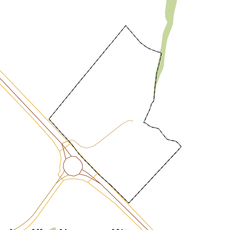
Rijksbeschermd gezicht Mamelis
992 m
Schoeërmolen
977 m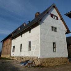
Mamelis 37, Lemiers
985 m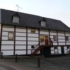
Mamelis 29, Lemiers
963 m
Lemiers Castle: entrance gate with bridge
1 km
Harles 18, Vijlen
902 m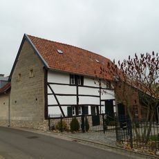
Hopschet 22, Vijlen
1 km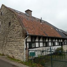
Hopschet 16, Vijlen
1.1 km
Harles 22, Vijlen
1 km
Lemiers-Rijksweg 120, Lemiers
691 m
Harles 15, Vijlen
978 m
Mamelis 35, Lemiers
961 m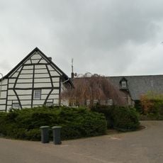
Harles 12, Vijlen
981 m
Vijlenberg 131, Vijlen
1.1 km
Lemiers Castle: main building
1 km
Lemiers Castle: bakehouse
1 km
Mamelisserweg 3, Lemiers
920 m
Lemiers Castle: grave monument
1 km
Lemiers Castle: garden wall
1 km
Lemiers Castle: fountain
1 km
Lemiers Castle: outbuilding with towers
1.1 km
Vijlenberg 123, Vijlen
1.1 km
Lemiers Castle: park
1 km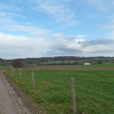
Area with foundations of a building and traces of habitation south of Mamelis
666 m
Harles 9, Vijlen
796 mReviews
Visited this place? Tap the stars to rate it and share your experience / photos with the community! Try now! You can cancel it anytime.
Discover hidden gems everywhere you go!
From secret cafés to breathtaking viewpoints, skip the crowded tourist spots and find places that match your style. Our app makes it easy with voice search, smart filtering, route optimization, and insider tips from travelers worldwide. Download now for the complete mobile experience.

A unique approach to discovering new places❞
— Le Figaro
All the places worth exploring❞
— France Info
A tailor-made excursion in just a few clicks❞
— 20 Minutes