
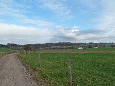
Area with foundations of a building and traces of habitation south of Mamelis
Area with foundations of a building and traces of habitation south of Mamelis, archaeological site at Mamelis, Netherlands
Location: Vaals
Address: Mamelis
GPS coordinates: 50.79426,5.97259
Latest update: March 10, 2025 15:51
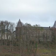
St. Benedictusberg Abbey
629 m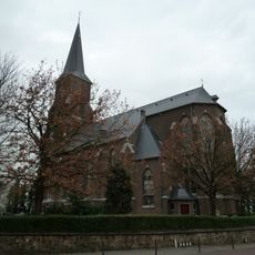
Sint-Martinuskerk
984 m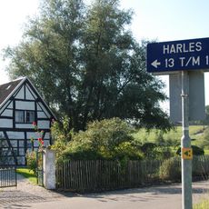
Harles
1.4 km
Orsbacher Wald
1.4 km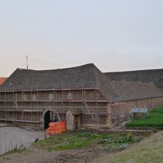
Hoeve Mamelis
332 m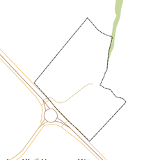
Rijksbeschermd gezicht Mamelis
444 m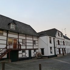
Schoeërmolen
417 m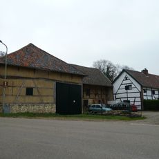
Vijlenstraat 57, Vijlen
1.2 km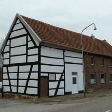
Hilleshagerweg 122, Mechelen
1.4 km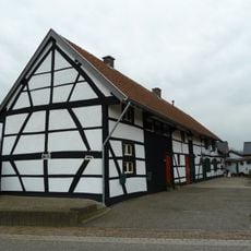
Hilleshagerweg 120, Mechelen
1.5 km
Mamelis 37, Lemiers
399 m
Munnikenhof
1.3 km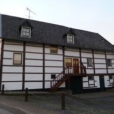
Mamelis 29, Lemiers
400 m
Lemiers-Rijksweg 120, Lemiers
1.3 km
Vijlenberg 131, Vijlen
944 m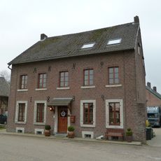
Vijlenstraat 53, Vijlen
1.2 km
Harles 22, Vijlen
1.4 km
Harles 18, Vijlen
1.4 km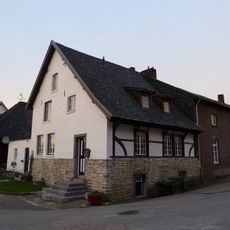
Mamelis 35, Lemiers
382 m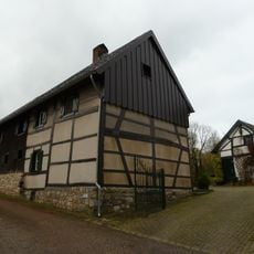
Harles 15, Vijlen
1.5 km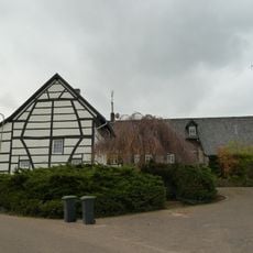
Harles 12, Vijlen
1.5 km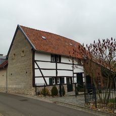
Hopschet 22, Vijlen
1 km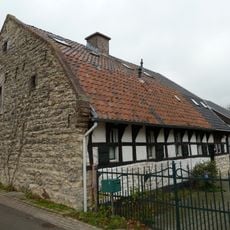
Hopschet 16, Vijlen
1 km
Area with traces of a building and habitation south of Oude Trichterweg near Lemiers
666 m
Vijlenberg 123, Vijlen
962 m
Mamelisserweg 3, Lemiers
280 m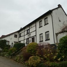
Harles 9, Vijlen
1.4 km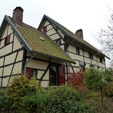
Vijlenerstraat 18, Vijlen
1.5 kmReviews
Visited this place? Tap the stars to rate it and share your experience / photos with the community! Try now! You can cancel it anytime.
Discover hidden gems everywhere you go!
From secret cafés to breathtaking viewpoints, skip the crowded tourist spots and find places that match your style. Our app makes it easy with voice search, smart filtering, route optimization, and insider tips from travelers worldwide. Download now for the complete mobile experience.

A unique approach to discovering new places❞
— Le Figaro
All the places worth exploring❞
— France Info
A tailor-made excursion in just a few clicks❞
— 20 Minutes