
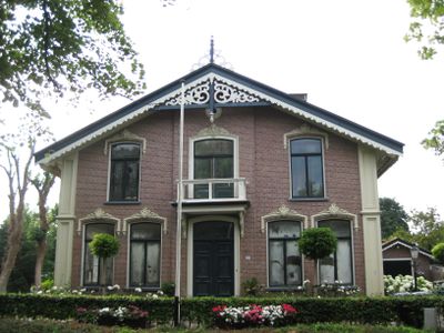
Pastorie van de Nederlands Hervormde gemeente, Rijksmonument op Dorpsstraat 120
Location: Hollands Kroon
Inception: 1867
Architects: Arnoldus Teunis van Wijngaarden
Architectural style: eclectic architecture
Address: Dorpsstraat 120
GPS coordinates: 52.73780,4.89347
Latest update: March 6, 2025 02:41
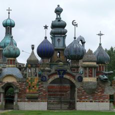
Nederlands Kremlin
2 km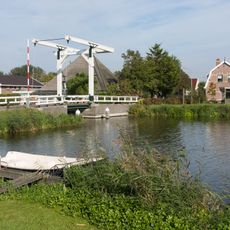
De Weel
3.3 km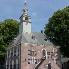
Het Regthuis
2 km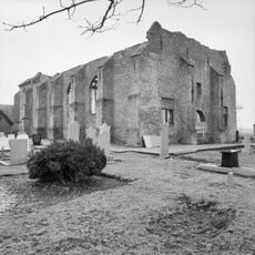
Nederlands Hervormde Kerk
2.3 km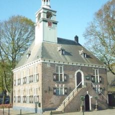
Nederlands Parfumflessen Museum
2 km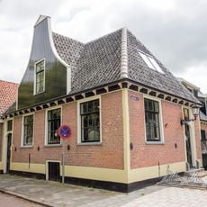
De Roode Eenhoorn
60 m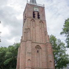
Toren oude dorpskerk
2.7 km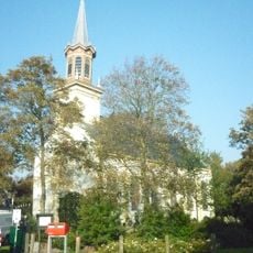
Lucaskerk
2.7 km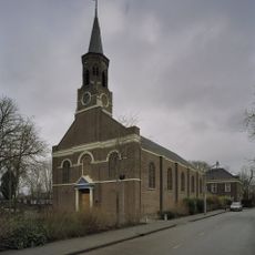
Sint-Martinuskerk
2.2 km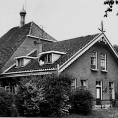
Dorpsstraat 78, Nieuwe Niedorp
368 m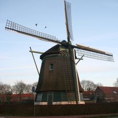
De Lastdrager
3.5 km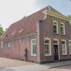
Dorpsstraat 129
330 m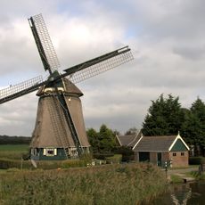
De Westermolen
831 m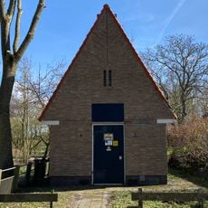
Transformatorhuisje
692 m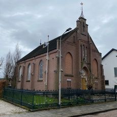
Doopsgezinde Kerk
192 m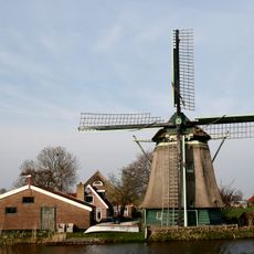
De Hoop
2.8 km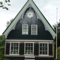
Dorpsstraat 116, Nieuwe Niedorp
39 m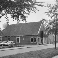
Pand onder zadeldak tussen topgevels; houten topgevelbeschieting aan de voorzijde.
395 m
Niedorperpolder
2.2 km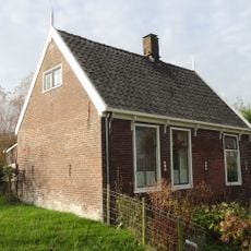
Arbeiderswoning
3.2 km
Koningspade 23, Hoogwoud
3.2 km
Dorpsstraat 10, Oude Niedorp
2.6 km
De Willemshoeve, Hoogwoud
3.4 km
Koningspade 31, Hoogwoud
2.9 km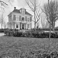
Huize Doornstaete
2.2 km
Schuur
3.2 km
Twee rijen grafzerken, op het oude kerkhof bij de ingang van de moderne kerk
2.7 km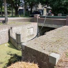
Schutsluisje bij de Oosterweg. Sluis, blijkens een jaartalsteen in cartouche
1.7 kmVisited this place? Tap the stars to rate it and share your experience / photos with the community! Try now! You can cancel it anytime.
Discover hidden gems everywhere you go!
From secret cafés to breathtaking viewpoints, skip the crowded tourist spots and find places that match your style. Our app makes it easy with voice search, smart filtering, route optimization, and insider tips from travelers worldwide. Download now for the complete mobile experience.

A unique approach to discovering new places❞
— Le Figaro
All the places worth exploring❞
— France Info
A tailor-made excursion in just a few clicks❞
— 20 Minutes