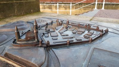
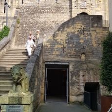
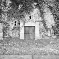
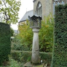
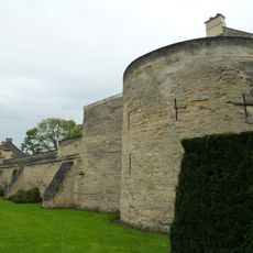
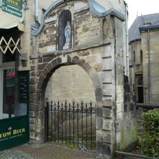
City walls of Valkenburg, Medieval fortress ruins in Valkenburg aan de Geul, Netherlands.
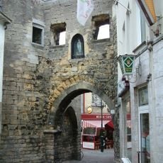
The city walls of Valkenburg are fortress ruins perched on a rocky outcrop above the Geul river, built across multiple centuries and construction periods. The site displays remaining wall sections, both round and square towers, and various openings that reveal the layout and defensive strategy of this medieval fortification.
Construction began in the 12th century as a wooden structure and later transformed into stone fortifications to protect the region. The walls withstood multiple sieges over centuries before being deliberately destroyed in 1672 during a military conflict.
The fortress walls define how residents and visitors experience Valkenburg's layout, serving as a physical boundary between the town and the river landscape. People today walk through these remains as a reminder of how medieval communities organized their spaces around military defense.
The fortress grounds are accessible via established pathways, with information panels describing the structural elements and how they functioned defensively. Wear sturdy footwear, as the terrain is uneven and the site covers sloped areas and rocky sections.
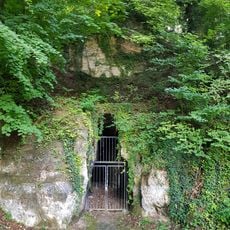
Underground tunnels beneath the fortress connect to the Velvet Cave system, which provided shelter and escape routes during both medieval sieges and World War II. This subterranean network served practical purposes for survival across centuries of conflict.
The community of curious travelers
AroundUs brings together thousands of curated places, local tips, and hidden gems, enriched daily by 60,000 contributors worldwide.