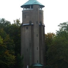
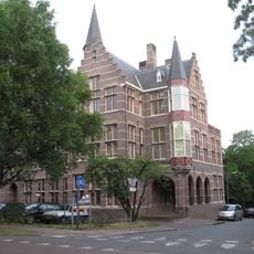
Wageningse Berg, Natural elevation and architectural complex in Wageningen, Netherlands.
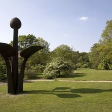
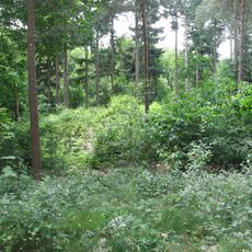
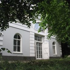
Wageningse Berg is a 42-meter hill with marked walking paths and cycling routes that wind up its slopes and offer views of the Nederrijn river. The site also contains the Belmonte Arboretum with various tree species and historical structures.
The hill formed during the penultimate ice age when glacial movement pushed material from the Gelderse Vallei region, creating both this hill and the Grebbeberg. Archaeological finds show that people used this location as far back as prehistoric times.
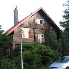
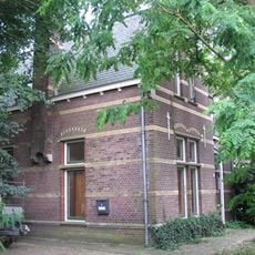
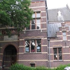
The hill takes its name from the old settlement of Oud-Wageningen, whose traces like stone chapel foundations remain visible today. These remnants show how people have lived here for centuries and shaped the land.
The location is accessible year-round with marked paths of varying difficulty for walkers and cyclists. It is advisable to wear appropriate footwear, as trail conditions can vary depending on the season.
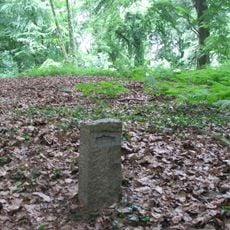
Multiple burial mounds across the site were investigated and granted national monument status, documenting long-term human settlement. These sites offer insight into the lives and burial practices of people from very distant times.
The community of curious travelers
AroundUs brings together thousands of curated places, local tips, and hidden gems, enriched daily by 60,000 contributors worldwide.