Plan Pampus, Urban expansion plan in Amsterdam, Netherlands
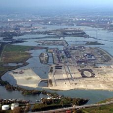
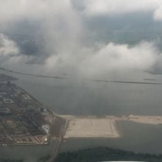
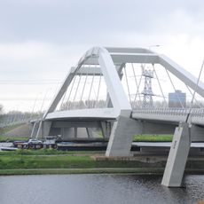
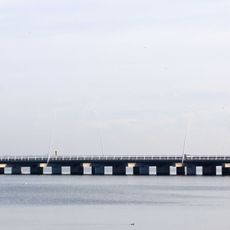
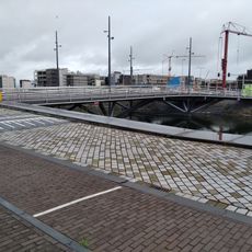
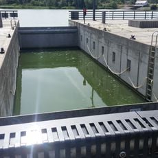
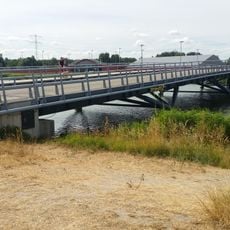
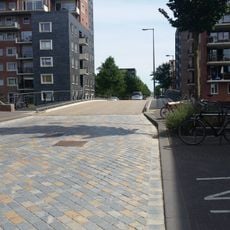
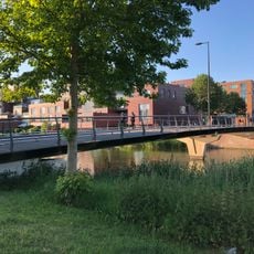
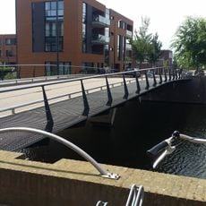
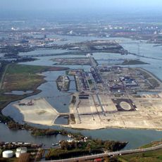
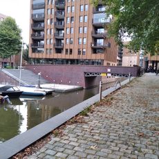
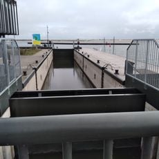
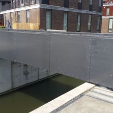
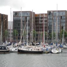
Plan Pampus is an urban development project on the eastern edge of Amsterdam that creates new residential neighborhoods, green spaces, and infrastructure built partly on water and along waterfronts. The area is organized around a network of canals and waterways that weave through the development and link different neighborhoods together.
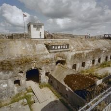
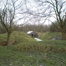
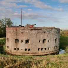
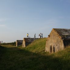
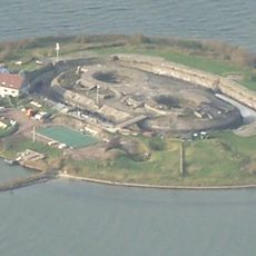
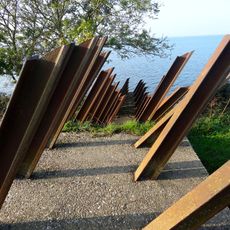
The project takes its name from Pampus Island, a historic fortification built to defend Amsterdam's harbor from naval attacks in the 1700s and 1800s. Today's development builds upon this maritime legacy while serving modern urban growth needs.
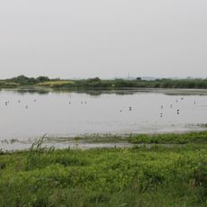
The development integrates Dutch water management traditions with modern urban planning principles to create sustainable residential neighborhoods near water.
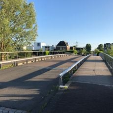
The area is reachable from central Amsterdam by new cycling networks, walking paths, and bus lines that connect to existing transit. Visitors navigate the development best on foot or by bicycle, as water and walkways form the main routes through the landscape.
The project experiments with floating residential buildings and artificial islands designed to adapt to rising water levels. This building approach to climate change and water management attempts to blend urban living with the practical realities of life near and on water.
The community of curious travelers
AroundUs brings together thousands of curated places, local tips, and hidden gems, enriched daily by 60,000 contributors worldwide.