
Mussertpaal, boundary stone in Achthoven, Netherlands
Location: Montfoort
Part of: political border
GPS coordinates: 52.05641,4.99007
Latest update: March 10, 2025 09:29


New Dutch Waterline
2 km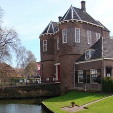
Kasteel Montfoort
3.1 km
Achthoven
285 m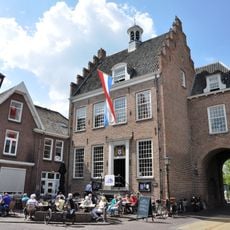
Stadhuis van Montfoort
3.1 km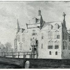
Kasteel Rijnenburg
2.6 km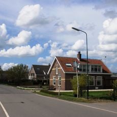
Knollemanshoek
403 m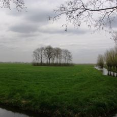
Schurenburg
1.9 km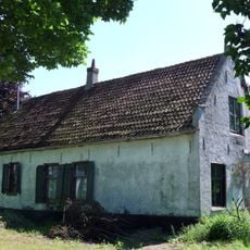
De Steenen Kamer
1.9 km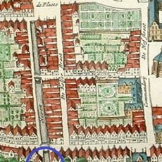
Waterpoort
3 km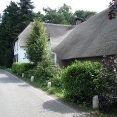
De Witte Swaen
404 m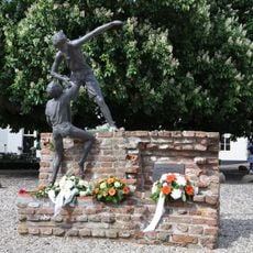
De handreiking
3.1 km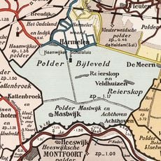
Polder Reijerscop
1.8 km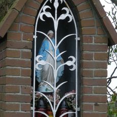
Mariakapel Achthoven
228 m
De Rookende Moor
3 km
Noord Ijsseldijk 28, IJsselstein
1.6 km
Langhuisboerderij
3 km
Reijerscop 11, Harmelen
2.3 km
Hoogstraat 30, Montfoort
3.1 km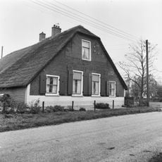
Reijerscop 6, Harmelen
2.4 km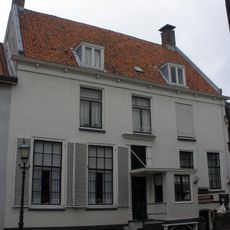
Hoogstraat 6, Montfoort
3 km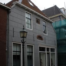
Hoogstraat 7, Montfoort
3 km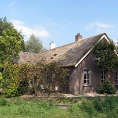
Nedereindseweg 578, Utrecht
3 km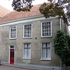
Hofstraat 7, Montfoort
3.1 km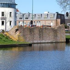
Overblijfselen van het Kasteel Montfoort
3.1 km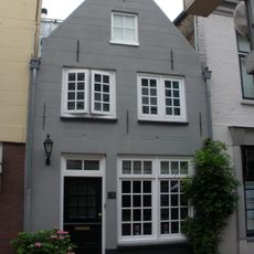
Hoogstraat 28, Montfoort
3.1 km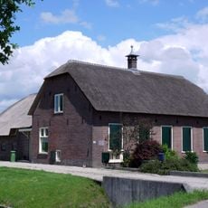
Boerderij met rieten zadeldak
2.8 km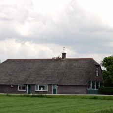
Boerderij met rieten zadeldak
2.7 km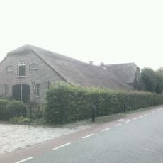
Blindeweg 6, Linschoten
2 kmReviews
Visited this place? Tap the stars to rate it and share your experience / photos with the community! Try now! You can cancel it anytime.
Discover hidden gems everywhere you go!
From secret cafés to breathtaking viewpoints, skip the crowded tourist spots and find places that match your style. Our app makes it easy with voice search, smart filtering, route optimization, and insider tips from travelers worldwide. Download now for the complete mobile experience.

A unique approach to discovering new places❞
— Le Figaro
All the places worth exploring❞
— France Info
A tailor-made excursion in just a few clicks❞
— 20 Minutes