Wilmkebreekpolder, Polder in Kadoelen district, Amsterdam, Netherlands
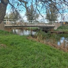
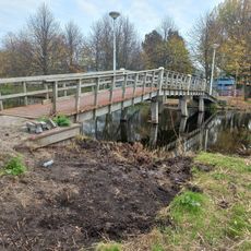
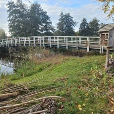
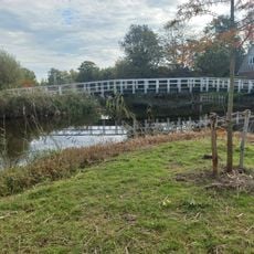
Wilmkebreekpolder is a polder in the Kadoelen district that lies roughly 3.5 meters below sea level with a network of drainage ditches running across it. The flat, open agricultural land is organized by these waterways, which are essential for both farming and water management.
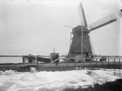
The area originated from a lake created by a dike breach in the early 1500s and was reclaimed in 1633 through an official land reclamation concession. This recovery was part of the wider Dutch effort to transform flooded land into productive polders.
Local farmers work the land using methods passed down over generations, keeping agriculture alive in one of the few remaining farming areas so close to the city center. The fields define the landscape here and show how farming persists within Amsterdam's boundaries.
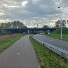
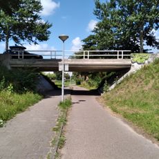
You can view the entire polder landscape from the raised Landsmeerderdijk, which offers clear views across the fields. This elevated position is an excellent starting point to explore or observe the area without stepping into the wet fields themselves.
The polder includes a water management system that can draw additional water from the Waterland reservoir during dry periods. This setup shows how modern water control techniques work alongside traditional polder engineering.
The community of curious travelers
AroundUs brings together thousands of curated places, local tips, and hidden gems, enriched daily by 60,000 contributors worldwide.