
Mariëndal, nature area in Den Helder, The Netherlands
Location: Den Helder
Shares border with: Donkere Duinen, Nieuw-Den Helder, Zanddijk
GPS coordinates: 52.92989,4.73025
Latest update: March 25, 2025 21:54

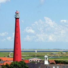
Lange Jaap
3.5 km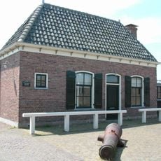
Fort Kijkduin
2.4 km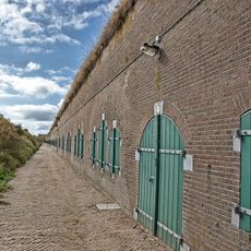
Marinekazerne Erfprins
3.4 km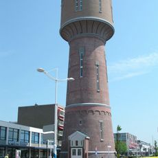
Water tower in Den Helder
3.6 km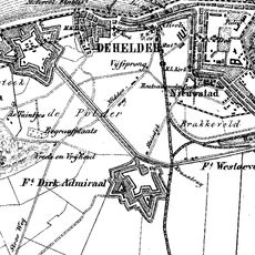
Fort Dirks Admiraal
2.6 km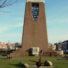
Monument voor het Reddingswezen (Den Helder)
3.7 km
Friese Buurt
2.6 km
Fort Westoever
4 km
Atlantikwall Centrum
2.5 km
Raccordement Den Helder Haven
3.4 km
OLV Onbevlekt Ontvangen
3.8 km
Visitors center De Helderse Vallei
494 m
Kustwachttoren van Huisduinen
2.5 km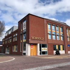
Den Helder School 7 Library
4 km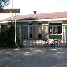
Sportpark Julianadorp
3.9 km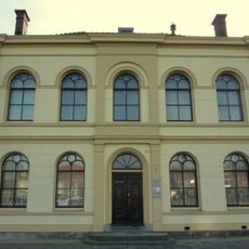
Gerechtsgebouw
3.9 km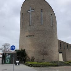
Bethel church
3.9 km
Oude stadhuis
3.9 km
Nieuweweg 23, Den Helder
1.8 km
Joods monument
2.3 km
Logement Duitse Officieren
2.5 km
Verbindingswal
2.9 km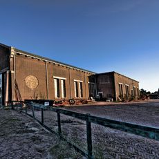
Werkplaats
2.5 km
Poortgebouw
2.5 km
Ziekenboeg/Atlantikwall: ziekenboeg
1.8 km
Monument voor Bombardementsslachtoffers
2.9 km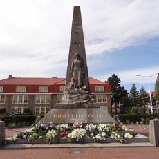
Marinemonument
3.6 km
Salamander Building
3.2 kmReviews
Visited this place? Tap the stars to rate it and share your experience / photos with the community! Try now! You can cancel it anytime.
Discover hidden gems everywhere you go!
From secret cafés to breathtaking viewpoints, skip the crowded tourist spots and find places that match your style. Our app makes it easy with voice search, smart filtering, route optimization, and insider tips from travelers worldwide. Download now for the complete mobile experience.

A unique approach to discovering new places❞
— Le Figaro
All the places worth exploring❞
— France Info
A tailor-made excursion in just a few clicks❞
— 20 Minutes