Enable Location

We need your location to show you interesting places around you

Discover nearby places

Find interesting locations and hidden gems around you

Precise directions

Get accurate directions and distances to places

Your location is never shared with other users. It's only used when you tap the location button.

Sogn og Fjordane

Log in to your account

Start exploring — it's free

Trusted by 61,502 travelers worldwide

Continue with Google
Continue with Apple
or

We will send you a code to connect

By continuing, you accept our Terms and Conditions and our Privacy Policy

Check your inbox

We've sent a pincode in your inbox. Please enter the code below.

Sogn og Fjordane

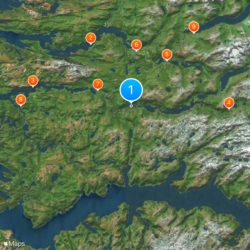
Sogn og Fjordane, Former county in Western Norway

Description

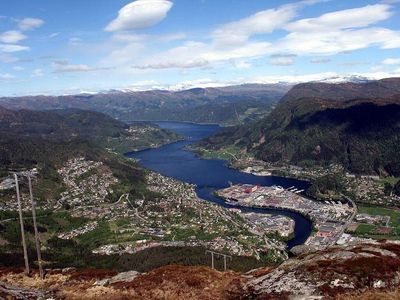
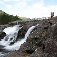
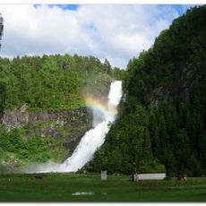
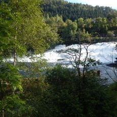
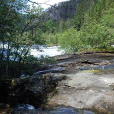
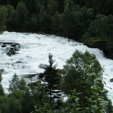
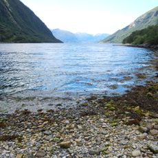
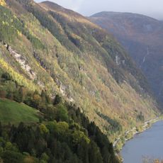
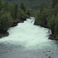
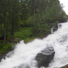
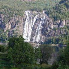
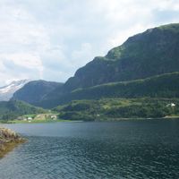
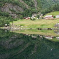
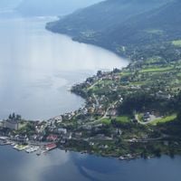
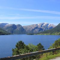
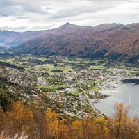
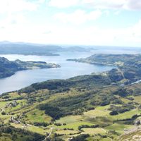
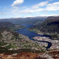
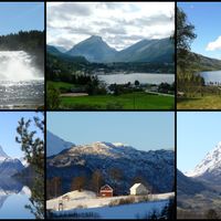
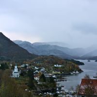
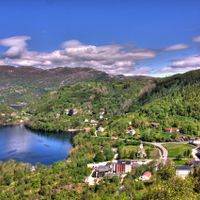
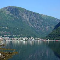
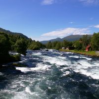
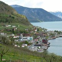
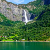
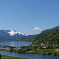
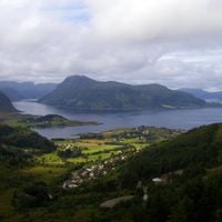
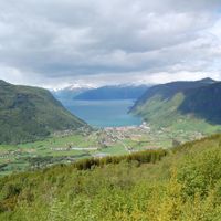
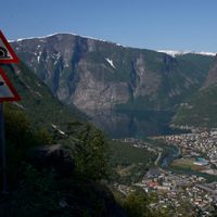
Sogn og Fjordane was a former Norwegian county that extended across mountain ranges, deep valleys, glaciers, and fjords throughout its territory. The region encompassed Jostedalsbreen glacier and Hornindalsvatnet, Norway's deepest lake, as well as 26 municipalities with varied landscapes.

History

The region developed from two medieval administrative divisions, Firdafylke and Sygnafylke, that existed for centuries before merging. In 1919, it became an official county when several municipalities were consolidated into a single administrative unit.

Culture

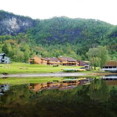
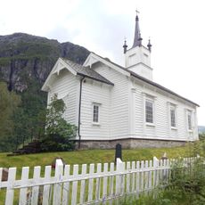
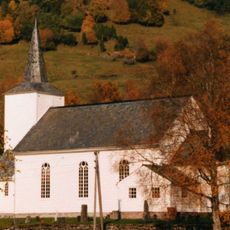
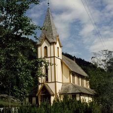
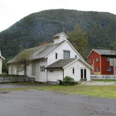
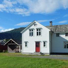
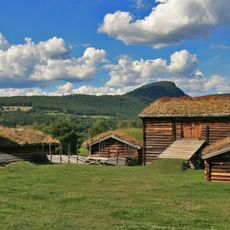
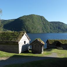
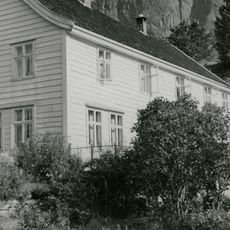
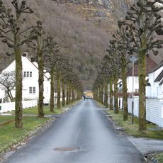
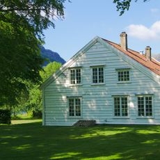
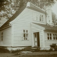
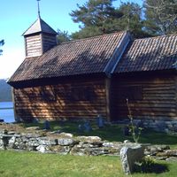
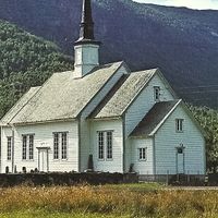
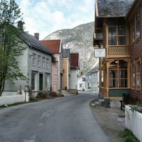
The region was a center for traditional Norwegian fishing and farming, with villages along the fjords maintaining their old crafts and customs through generations. These activities shaped daily life and remained visible in local markets and seasonal routines that organized community rhythms.

Practical

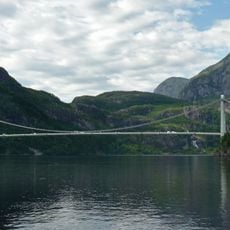
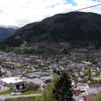
Travel through the region required careful planning due to numerous fjord crossings that needed ferry services or long detours to navigate. Four regional airports offered alternative routes and helped visitors reach different parts of the territory more efficiently.

Did you know?

The coat of arms granted in 1983 displayed three blue fjords on a white background, symbolizing the Nordfjord, Sunnfjord, and Sogn regions. This emblem represented the geographic and cultural diversity of the merged territories.

Location
Inception
1919
Capital city
Hermansverk
Part of
Western Norway
Shares border with
Hordaland, Buskerud, Oppland, Møre og Romsdal
Website
GPS coordinates
61.33333,5.83333
Latest update
December 17, 2025 08:08

AroundUs brings together thousands of curated places, local tips, and hidden gems, enriched daily by 60,000 contributors worldwide. Discover all places nearby (Norway).

« Sogn og Fjordane - Former county in Western Norway » is provided by Around Us (aroundus.com). Images and texts are derived from Wikimedia project under a Creative Commons license. You are allowed to copy, distribute, and modify copies of this page, under the conditions set by the license, as long as this note is clearly visible.

Discover hidden gems everywhere you go!

From secret cafés to breathtaking viewpoints, skip the crowded tourist spots and find places that match your style. Our app makes it easy with voice search, smart filtering, route optimization, and insider tips from travelers worldwide. Download now for the complete mobile experience.

Around Us App Screenshot

A unique approach to discovering new places

Le Figaro

All the places worth exploring

France Info

A tailor-made excursion in just a few clicks

20 Minutes

Around Us
Travel Guide & Maps
Download

Send to your phone

QR Code
1

Open the camera app on your mobile.

2

Point at the QR code with your camera. A notification will appear.

3

Tap the notification to open the link.