Luster Municipality, Administrative division in Vestland, Norway.
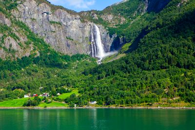
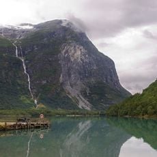
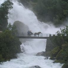
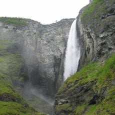
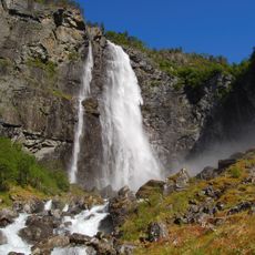
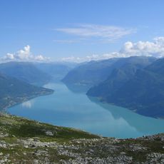
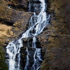
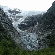
Luster is a municipality at the inner end of the Sognefjord, in Vestland county, Norway, surrounded by steep mountains and waterfalls. Its territory covers parts of two national parks, and the administrative center sits in the village of Gaupne.
The municipality was established in 1838 as a parish and grew considerably in 1963 when neighboring territories were merged into it. That merger shaped the administrative boundaries that are still in place today.
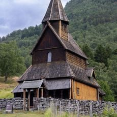
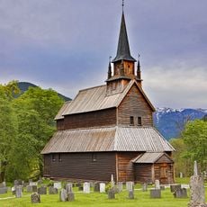
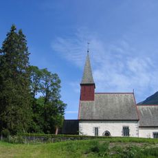
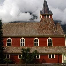
The area has eight old churches, including the Urnes Stave Church, a UNESCO World Heritage Site known for its carved wooden details. Visiting it today feels like stepping into a space where medieval craftsmanship is still fully visible.
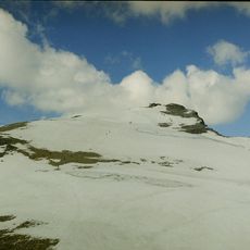
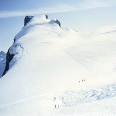
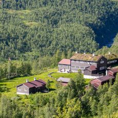
The area is open all year, but some mountain roads and trails close in winter, so it is worth checking conditions before you go. Having your own vehicle makes it much easier to move between villages and see different parts of the municipality.
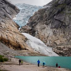
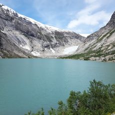
The name comes from the Lustrafjord, a branch of the Sognefjord, whose water takes on a pale, milky color from glacial melt flowing into it. This color is most noticeable when you stand directly on the shore and look across the fjord.
The community of curious travelers
AroundUs brings together thousands of curated places, local tips, and hidden gems, enriched daily by 60,000 contributors worldwide.