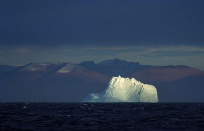
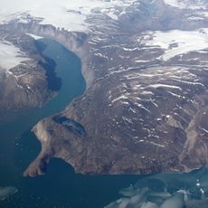
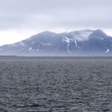
Greenland Sea, Marginal sea in Arctic region, Norway.
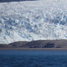
This sea lies between Greenland, Svalbard, and the Norwegian Sea and covers an area of more than one million square kilometers with an average depth of around 1,450 meters (4,757 feet). Currents meet here and create a mosaic of warm and cold water that determines the biological dynamics of the region.
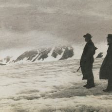
The first scientific expeditions reached these waters in 1876 and documented temperature, salinity, and the movements of ice masses. Fridtjof Nansen later mapped the interplay of ocean currents and greatly expanded the understanding of Arctic oceans.
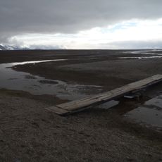
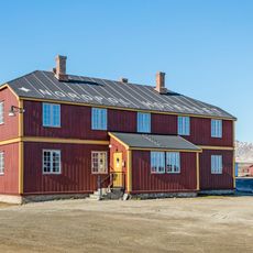
Whaling ships from several nations used these waters for centuries as hunting grounds and shaped the maritime life of the far north. The water still connects multiple nations today and plays a role in the daily life of people along the coast of Greenland.
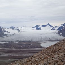
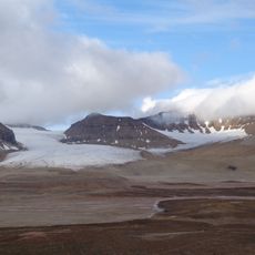
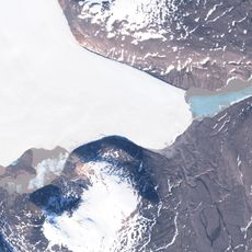
Ice floes drift in these waters about ten months a year and limit shipping to a few summer months between August and October. Visitors can reach the surface only as part of organized expeditions, and visibility depends heavily on weather and the season.
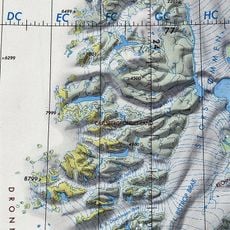
The ocean floor is divided by the Mohns Ridge, which separates the Greenland Basin from the North Icelandic Deep and creates two completely different underwater landscapes. This geological dividing line also influences the distribution of marine organisms and water temperatures in both basins.
The community of curious travelers
AroundUs brings together thousands of curated places, local tips, and hidden gems, enriched daily by 60,000 contributors worldwide.