Chest opened
+${chestReward.xp} XP
Explorer
NOUVEAU ×${chestReward.collectible.quantity}
tapez pour fermer

See the monuments around you in AR Open chests in the app

Around Us is built for your phone — point your camera at the streets and discover the monuments and places around you in augmented reality. Around Us is built for your phone — chests unlock when you walk, explore and capture nearby places.

•

Enable Location

We need your location to show you interesting places around you

Discover nearby places

Find interesting locations and hidden gems around you

Precise directions

Get accurate directions and distances to places

Your location is never shared with other users. It's only used when you tap the location button.

Østensjøvannet

Log in to your account

Start exploring — it's free

Trusted by 90,661 travelers worldwide

Continue with Google
Continue with Apple
or

We will send you a code to connect

By continuing, you accept our Terms and Conditions and our Privacy Policy

Check your inbox

We've sent a pincode in your inbox. Please enter the code below.

Østensjøvannet
Discussion Reviews 2 Photos
5.1k Popularity

Østensjøvannet, Lake in Oslo Municipality, Norway

Audio guide · About one minute
Preparing your audio guide… The audio guide could not be loaded, please retry.Sign in to listen to the audio guide

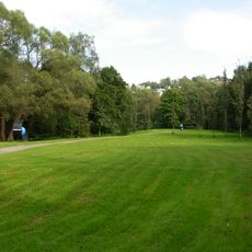
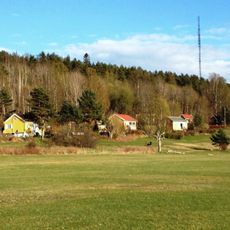
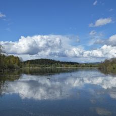
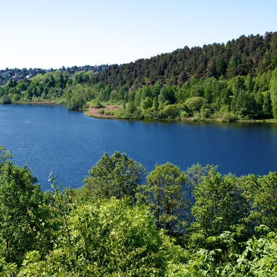
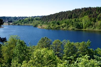
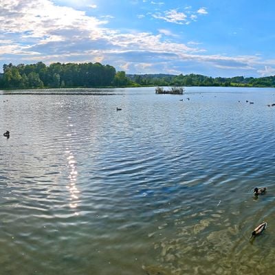
Østensjøvannet is a lake in Oslo Municipality, Norway, ringed by a walking path and bordered by trees and low hills. The calm water reflects the sky, while ducks gather in scattered groups near the shoreline and wooden piers.

The lake basin sits at an elevation of 107 meters within Oslo's Østensjø district. Over time, a walking route was woven into the city's wider trail network, linking the water to nearby green areas to the southeast and northwest.

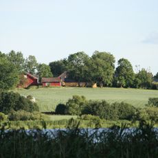
Local place names for small meadows, wooded patches, and fields around the lake are kept alive through a map made by Østensjøvannets Venner. A short pier on the west side and the open field near the canal are spots where people often stop to watch birds up close.

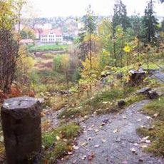
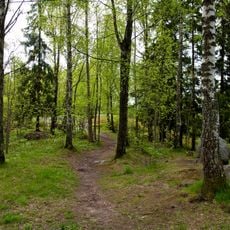
A paved or gravel loop offers a walk of about one hour, with sections open all winter. Some parts are steep near the northwest side, so sturdy shoes help even when snow or ice covers the path.

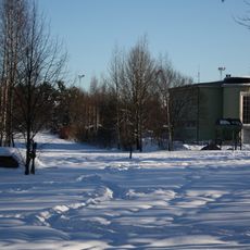
In cold winters, only two spots remain open: the water under the road bridge to the south and the outlet toward Bogerudmyra. This makes the lake a gathering place for waterfowl even when the rest of the surface freezes over.

The community of curious travelers

AroundUs brings together thousands of curated places, local tips, and hidden gems, enriched daily by 60,000 contributors worldwide.
Start exploring
Location
Elevation above the sea
107 m
GPS coordinates
59.89269,10.83020
Latest update
October 8, 2026 18:26
Reviews
Share your experience

No review yet

Discussions
Start a discussion...

No discussion yet

« Østensjøvannet - Lake in Oslo Municipality, Norway » is provided by Around Us (aroundus.com). Images and texts are derived from Wikimedia project under a Creative Commons license. You are allowed to copy, distribute, and modify copies of this page, under the conditions set by the license, as long as this note is clearly visible.

Discover hidden gems everywhere you go!

From secret cafés to breathtaking viewpoints, skip the crowded tourist spots and find places that match your style. Our app makes it easy with voice search, smart filtering, route optimization, and insider tips from travelers worldwide. Download now for the complete mobile experience.

Around Us App Screenshot
❝

A unique approach to discovering new places❞

— Le Figaro

❝

All the places worth exploring❞

— France Info

❝

A tailor-made excursion in just a few clicks❞

— 20 Minutes

Around Us
Travel Guide & Maps
Download

Send to your phone

QR Code
1

Open the camera app on your mobile.

2

Point at the QR code with your camera. A notification will appear.

3

Tap the notification to open the link.