Sauda, municipality in Rogaland, Norway
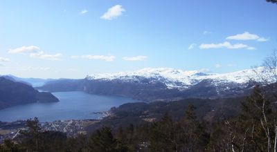
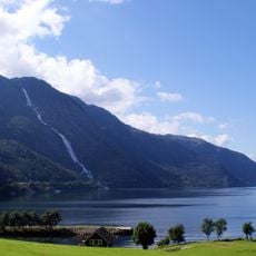
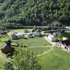
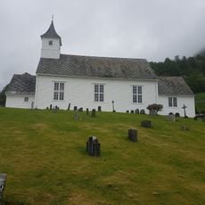
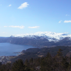
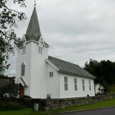
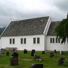
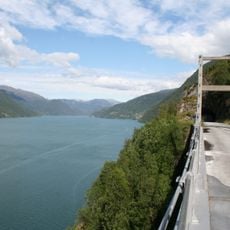
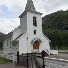
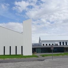
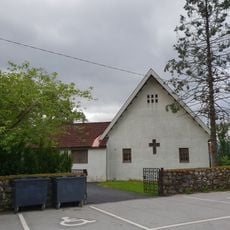
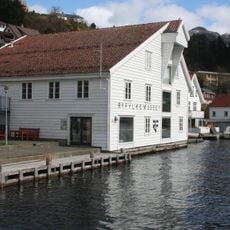
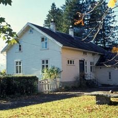
Sauda is a small city in the mountains of Rogaland county in Norway, situated beside Saudafjorden and surrounded by steep hillsides and large mountains. The town shows a mix of old wooden buildings in the village of Saudasjøen and modern metal processing factories that stretch along the fjord, representing both its historical roots and industrial growth.
Sauda was established as a municipality in 1842 when it had just over a thousand residents in the area. The town grew rapidly with the arrival of metal processing industries and the opening of major mining operations in the surrounding hills in the early 1900s.
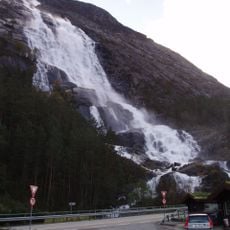
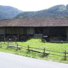
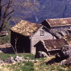
The name Sauda comes from Old Norse and relates to the water power of the area. The town's connection to industry is visible in the factories and worker settlements that shape its appearance and reflect how the community has built its identity around shared work.
The town is best explored on foot, with clean and well-kept streets that are easy to navigate. Visitors should prepare for changeable weather, especially in winter with snow and during wet autumn and winter months, and bring warm clothing and sturdy footwear.
Northern Europe's largest metal smelting factory is located in Sauda, drawing large trucks daily to and from the facility. This massive industrial presence has attracted workers from different countries who brought their own stories and customs, shaping the character of the community.
The community of curious travelers
AroundUs brings together thousands of curated places, local tips, and hidden gems, enriched daily by 60,000 contributors worldwide.