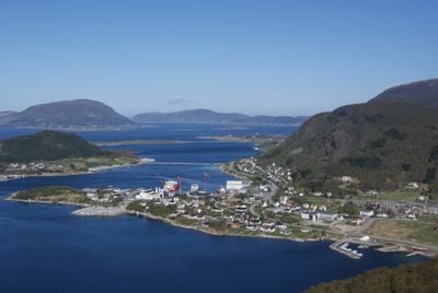
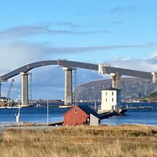
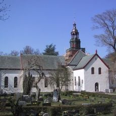
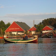
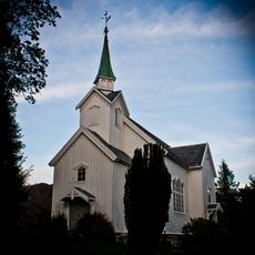
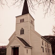
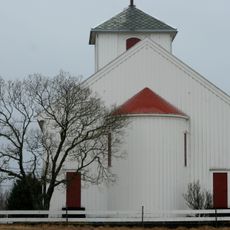
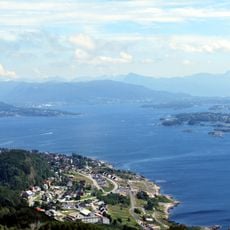
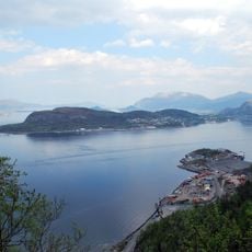
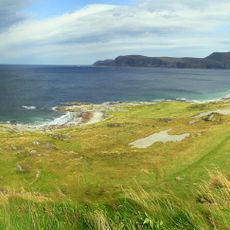
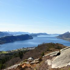
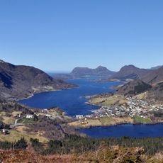
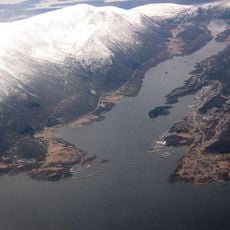
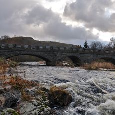
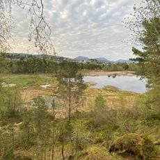
Haram, former municipality in Møre og Romsdal, Norway
Location: Møre og Romsdal
Capital city: Brattvåg
Shares border with: Vestnes, Skodje, Ålesund Municipality, Giske Municipality, Sandøy, Midsund
Website: http://haram.kommune.no
GPS coordinates: 62.56750,6.37222
Latest update: March 4, 2025 08:29
Lepsøy Bridge
6.6 km
Borgund Church in Ålesund
13.3 km
Sunnmøre Museum
13 km
Brattvåg Church
5.2 km
Lepsøyrevet
7.4 km
Spjelkavik Church
11.2 km
Hellevik Lighthouse
12.6 km
Lepsøyrevet fyr
5.9 km
Vatne Church
12.1 km
Ellingsøy Church
9.8 km
Hamnsund Church
6.6 km
Hildre Church
5.2 km
Borgundfjorden
14.4 km
Valderøy Church
14.4 km
Ellingsøyfjorden
14.3 km
Molnes
14.3 km
Grytafjorden
6.2 km
Rødholmen fyr
7.8 km
Vatnefjorden
12.6 km
Samfjorden
5.1 km
Kjeholmen
13.3 km
Lykjelsholmen
13.6 km
Åsefjorden
13.2 km
Vatne bru
12.3 km
Lerstadvatnet
11.7 km
Keipen
8.3 km
Habbostad Stranda-tunet, Sunnmøre Museum
13.1 km
Hjellens notbøteri
12.6 kmReviews
Visited this place? Tap the stars to rate it and share your experience / photos with the community! Try now! You can cancel it anytime.
Discover hidden gems everywhere you go!
From secret cafés to breathtaking viewpoints, skip the crowded tourist spots and find places that match your style. Our app makes it easy with voice search, smart filtering, route optimization, and insider tips from travelers worldwide. Download now for the complete mobile experience.
A unique approach to discovering new places❞
— Le Figaro
All the places worth exploring❞
— France Info
A tailor-made excursion in just a few clicks❞
— 20 Minutes