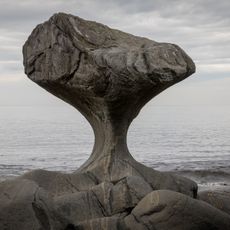
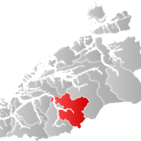
Møre og Romsdal, County district in Western Norway.
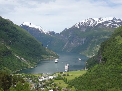
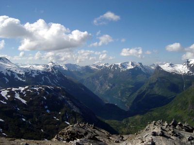
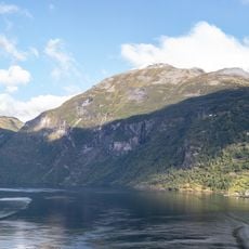
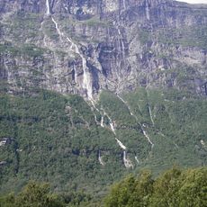
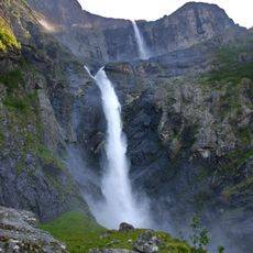
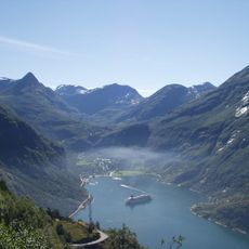
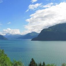
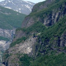
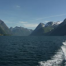
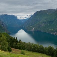
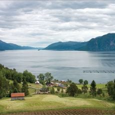
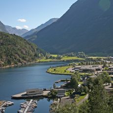
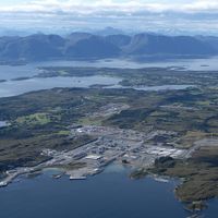
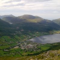
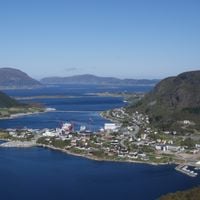
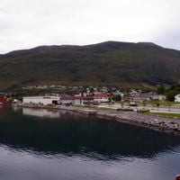
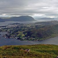
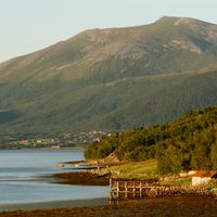
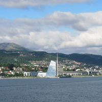
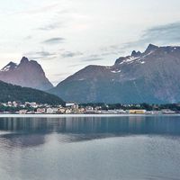
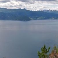
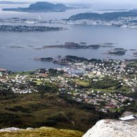
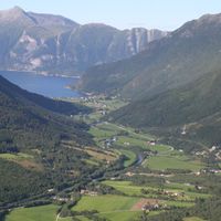
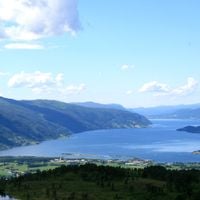
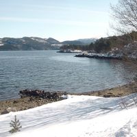
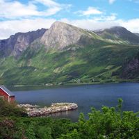
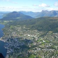
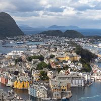
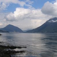
Møre og Romsdal is a county along the western coast of Norway, encompassing deep fjords, mountain ranges and islands across three main regions: Nordmøre, Romsdal and Sunnmøre. The administrative structure connects coastal settlements with inland valleys through a network of roads and ferry routes that link the different parts of the territory.
The area became an administrative division in 1671 and received its present name in 1936 after the merger of Romsdalens amt. Boundaries shifted several times over the centuries before settling into the current form.
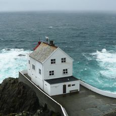
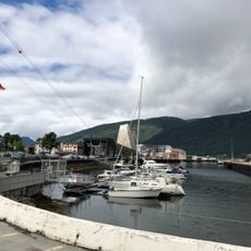
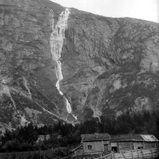
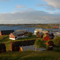
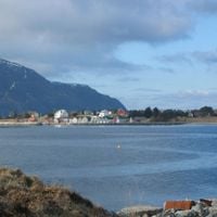
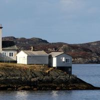
The three golden Viking ships on the official coat of arms recall the long seafaring tradition of the area, which remains visible today in fishing and shipyards. Many coastal settlements still draw their life from the sea and celebrate this connection through local crafts and community events.
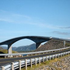
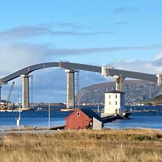
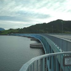
The center in Molde administers schools, health services and a regional road network that connects valleys and islands. Ferries complement road links to reach scattered communities across the territory.
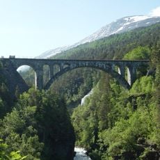
The Rauma railway line winds through narrow valleys and mountain passes to connect the territory with the national rail network. It serves travelers as well as freight transport and local connections between settlements.
Location: Norway
Capital city: Molde
Reference: 15
Part of: Western Norway
Shares border with: Trøndelag, Innlandet, Vestland
Website: http://mrfylke.no
GPS coordinates: 62.73750,7.15833
Latest update: December 12, 2025 10:10
Atlantic Ocean Road
32.6 km
Geirangerfjord
71.7 km
Biber-class midget submarine
55 km
Troll Wall
40.7 km
Storseisundet Bridge
32.6 km
Seven Sisters waterfall
70.3 km
Selje Abbey
122.7 km
Vinnufossen
77.6 km
Mardalsfossen
57.5 km
Dovrefjell–Sunndalsfjella National Park
110.1 km
Dalsnibba
77 km
Sletringen Lighthouse
117.3 km
Kannesteinen
137.7 km
Storfjorden
43.4 km
Kongebjørka
1.6 km
Kråkenes Lighthouse
136.7 km
Kylling Bridge
64.2 km
Romsdalen Gondola
34 km
Skageflå
69.8 km
Trollryggen
40.9 km
Zakariasdammen
62 km
Hjørundfjorden
67.3 km
Tafjorden
51 km
Mongefossen
50 km
Romsdalsfjord
10.8 km
Lepsøy Bridge
48.8 km
Sunnylvsfjorden
57.5 km
Bergsøysund Bridge
45.8 kmVisited this place? Tap the stars to rate it and share your experience / photos with the community! Try now! You can cancel it anytime.
Aukra Municipality
Aure Municipality
Averøy Municipality
Fjord municipality
Giske Municipality
Gjemnes Municipality
Haram
Hareid
Herøy
Hustadvika Municipality
Kristiansund Municipality
Molde Municipality
Rauma Municipality
Sande Municipality
Smøla Municipality
Stranda Municipality
Sula
Sunndal Municipality
Surnadal Municipality
Sykkylven
Tingvoll Municipality
Ulstein
Vanylven
Vestnes
Volda
Ålesund Municipality
Ørsta Municipality
Discover hidden gems everywhere you go!
From secret cafés to breathtaking viewpoints, skip the crowded tourist spots and find places that match your style. Our app makes it easy with voice search, smart filtering, route optimization, and insider tips from travelers worldwide. Download now for the complete mobile experience.
A unique approach to discovering new places❞
— Le Figaro
All the places worth exploring❞
— France Info
A tailor-made excursion in just a few clicks❞
— 20 Minutes