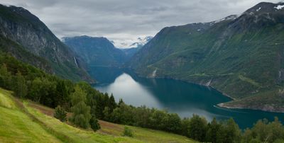
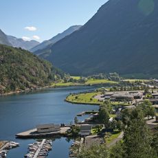
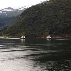
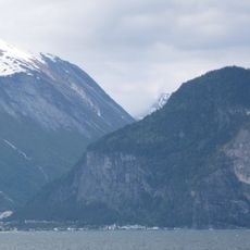
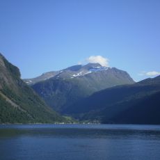
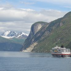
Tafjorden, Norwegian fjord in Norddal, Norway
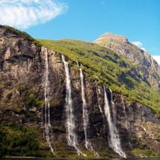
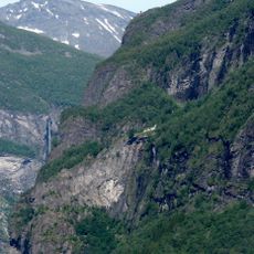
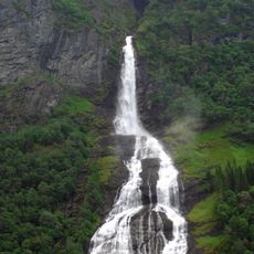
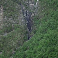
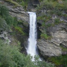
Tafjord stretches 24 kilometers eastward from Storfjorden, bordered by steep cliffs with water reaching depths of several hundred meters. Three major rivers feed into the fjord, bringing fresh water into this marine environment.
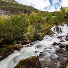
The fjord was carved by glaciers over thousands of years into its current form. In 1934, a major landslide triggered a tsunami that devastated coastal settlements and caused significant loss of life.
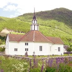
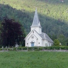
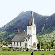
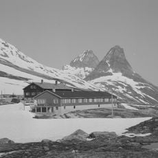
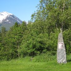
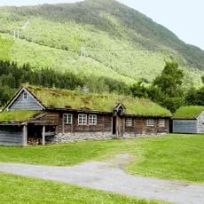
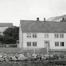
Mountain farms dot the fjord's edges, showing how communities adapted to life on steep terrain. These settlements remain part of the landscape today, reflecting the determination of people to build homes in such challenging places.
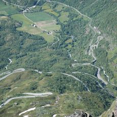
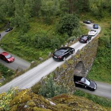
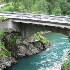
County Roads 63 and 650 provide vehicle access along the fjord's edges. A ferry service connects the settlements on opposite sides, making it easy to explore both shorelines.
The fjord attracts whales that migrate through its waters, making it a notable spot for observing these marine mammals. Visitors can sometimes spot them from the shoreline during certain seasons.
The community of curious travelers
AroundUs brings together thousands of curated places, local tips, and hidden gems, enriched daily by 60,000 contributors worldwide.