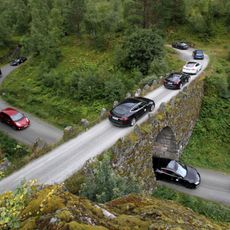
Geiranger road, Heritage road in Møre og Romsdal, Norway.
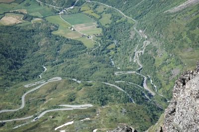
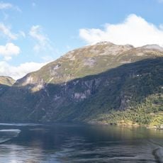
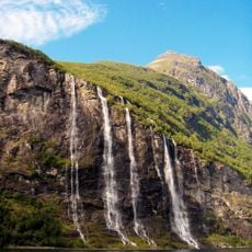
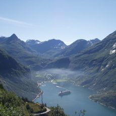
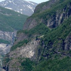
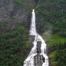
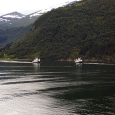
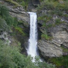
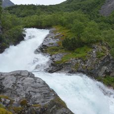
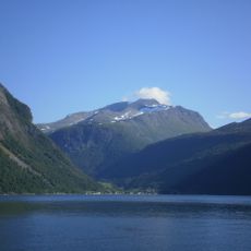
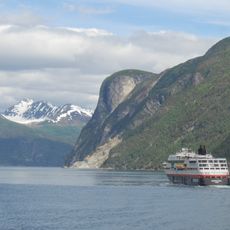
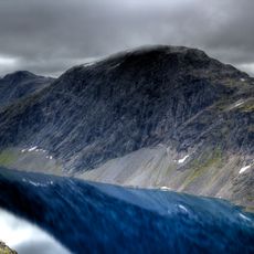
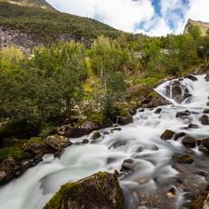
Geiranger Road is a mountain passage in Møre og Romsdal that runs from Langvatnet lake to the E136 highway junction near Åndalsnes, crossing steep mountain terrain with multiple hairpin curves. The Eagle Road section climbs around 620 meters through 11 hairpin turns while offering views of waterfalls and the Geirangerfjord below.
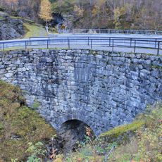
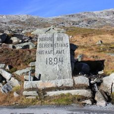
This mountain passage was built to connect isolated communities in western Norway, fundamentally transforming transportation patterns in the region. Its construction required innovative engineering techniques to handle the extreme elevation changes and steep slopes.
The road reflects Norwegian engineering practices through its careful integration with the mountain terrain, particularly in the steep hairpin sections where drivers wind through dramatic passages. Local communities have long relied on this passage to maintain connections between settlements in remote valleys.
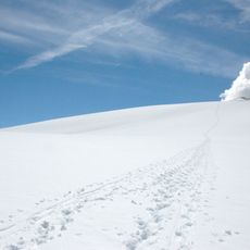
The route closes from early November through late May due to winter conditions, making advance planning for alternative routes necessary. Drivers should expect variable weather and changing road conditions, especially in the higher sections.
The Eagle Road section gets its name from the way the hairpin curves allow drivers to feel they are soaring over the valley below. This particular stretch has become known among drivers and photographers for its distinctive curves and sweeping vistas.
The community of curious travelers
AroundUs brings together thousands of curated places, local tips, and hidden gems, enriched daily by 60,000 contributors worldwide.