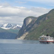
Norddalsfjorden, Fjord system in Møre og Romsdal, Norway
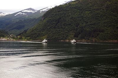
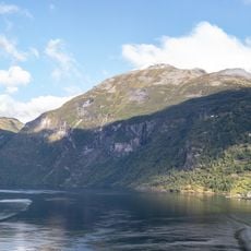
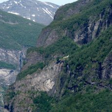
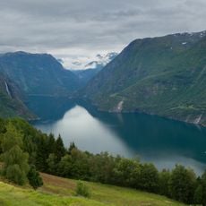
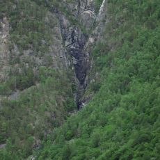
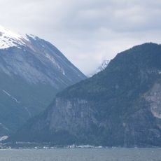
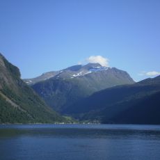
Norddalsfjorden is a fjord system stretching about 16 kilometers through two municipalities and connecting to the larger Storfjorden. Steep mountain slopes frame the waterway, with several villages scattered along both shores.
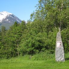
In medieval times, this fjord system was known as Todarfjorden, a single name combining several connected waterways. This older naming shows how the region was once understood as one unified landscape.
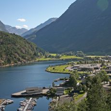
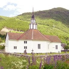
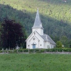
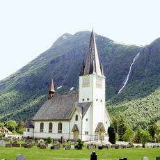
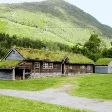
The scattered villages along the shores show how communities have built their lives around fishing and farming for generations. You can still see this connection in the way locals use the water and land today.
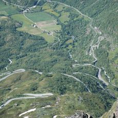
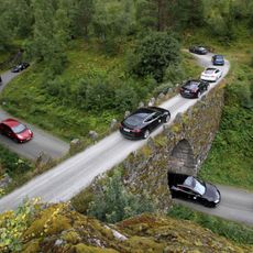
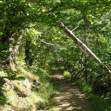
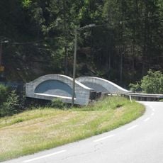
You can reach the fjord via roads on both sides, and a regular ferry connects two opposite villages. The best time to explore is from late spring through early autumn, when weather is stable and roads are fully passable.
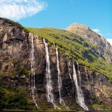
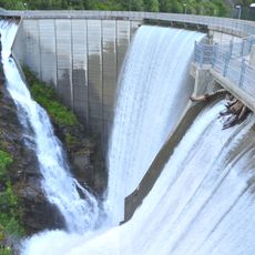
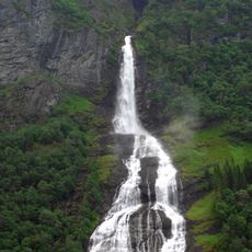
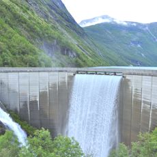
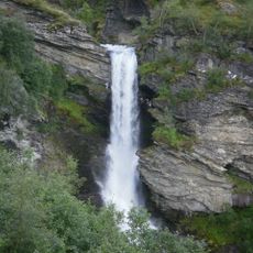
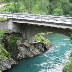
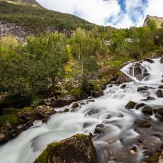
Three major rivers feed this fjord with mountain water, giving it a distinct role in the regional water cycle. These river inflows shape the water color and clarity throughout the year, depending on snowmelt and rainfall.
The community of curious travelers
AroundUs brings together thousands of curated places, local tips, and hidden gems, enriched daily by 60,000 contributors worldwide.