Kristiansund Municipality
Kristiansund Municipality, Coastal municipality in Møre og Romsdal, Norway
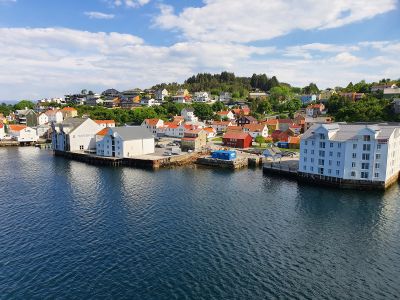
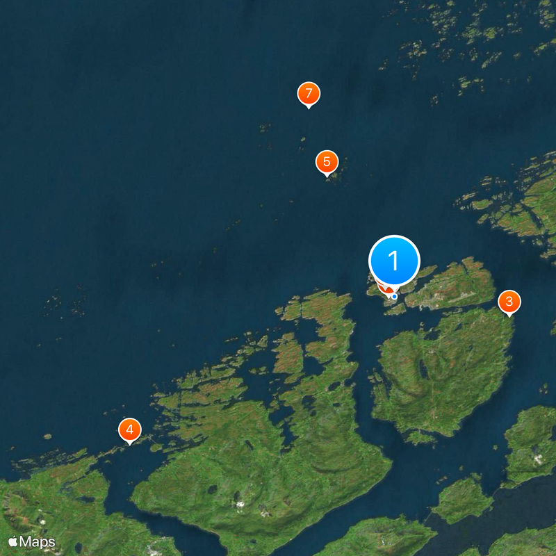
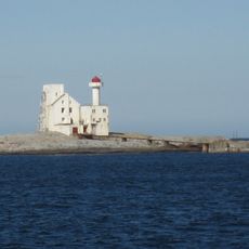
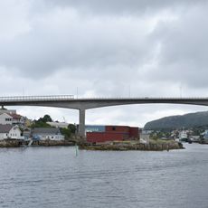
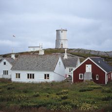
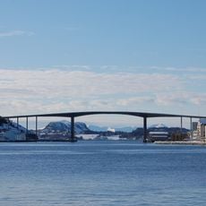
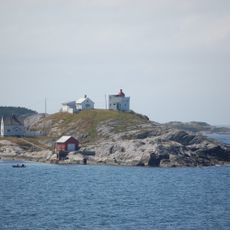
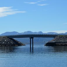
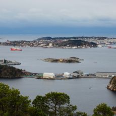
Kristiansund Municipality spreads across several islands along Norway's western coast, connected by a network of bridges and tunnels beneath the sea. The island clusters form a cohesive settlement with distinct neighborhoods and working areas separated by water.
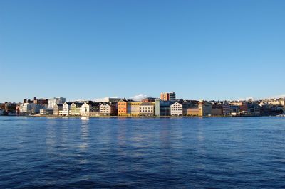
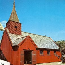
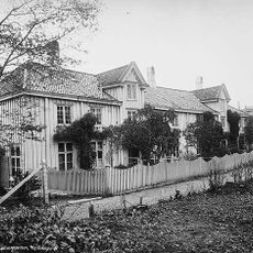
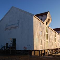
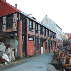
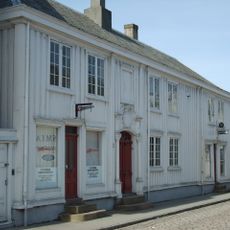
The municipality began as a trading post in 1631 on the Norwegian coast. During the 18th century, it became a major center for stockfish exports sent via Mediterranean routes to southern markets.
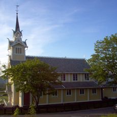
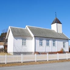
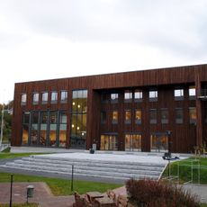
The opera house built in 1928 hosts performances and remains a cultural landmark for the community. Photography festivals celebrating Nordic light draw visitors interested in capturing the region's natural conditions.
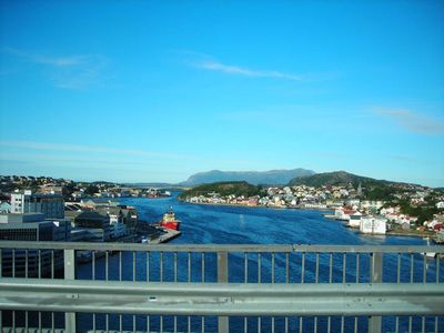
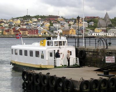
The Sundbåt ferry connects the different island sections and serves as the main transport between areas. Visitors moving around the islands should familiarize themselves with ferry schedules and bridge access points.
The municipality is home to a notably large number of residents over 90 years old, suggesting a stable community rooted across generations. This demographic feature reflects the long-term stability and continuity of settlement in the area.
Location: Møre og Romsdal
Inception: 1631
Capital city: Kristiansund
Shares border with: Smøla Municipality, Aure Municipality, Tingvoll, Gjemnes Municipality, Averøy Municipality
Address: Kristiansund, Norway
Website: https://kristiansund.kommune.no
GPS coordinates: 63.11152,7.73198
Latest update: December 6, 2025 21:28
Storseisundet Bridge
21.8 km
Grip Stave Church
9.9 km
Kirkelandet Church
446 m
Grip Lighthouse
14.9 km
Festiviteten i Kristiansund
402 m
Varden (Kristiansund)
884 m
Hestskjær Lighthouse
12.4 km
Bremsnes Church
4.5 km
Frei Church
10.3 km
Omsund Bridge
4.6 km
Nordsund Bridge
1.1 km
Kvitholmen Lighthouse
26.9 km
Kvernesfjorden
7.5 km
Sørsund Bridge
563 m
Lossiusgården
574 m
Freifjorden
10.6 km
Stavnes Lighthouse
3.5 km
Norsk klippfiskmuseum
560 m
Langøy kapell
12.8 km
Geitøybrua
20.3 km
Mellemværftet
890 m
Brodtkorbgården / Christiegården
486 m
Averøy kommunehus
8.2 km
Fugløya
2.6 km
St. Eystein Church
702 m
Minne over omkomne på havet
21.3 km
Sveggebron
6.8 km
Lamholmen
19.6 kmVisited this place? Tap the stars to rate it and share your experience / photos with the community! Try now! You can cancel it anytime.
Discover hidden gems everywhere you go!
From secret cafés to breathtaking viewpoints, skip the crowded tourist spots and find places that match your style. Our app makes it easy with voice search, smart filtering, route optimization, and insider tips from travelers worldwide. Download now for the complete mobile experience.
A unique approach to discovering new places❞
— Le Figaro
All the places worth exploring❞
— France Info
A tailor-made excursion in just a few clicks❞
— 20 Minutes