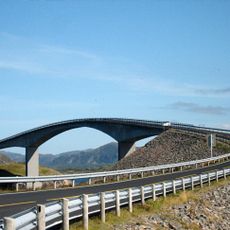
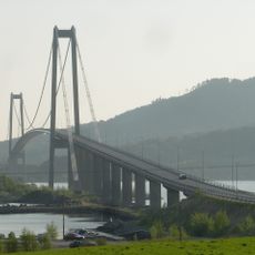
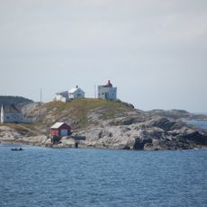
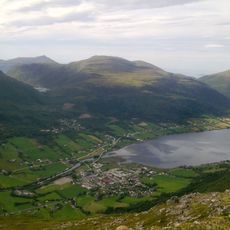
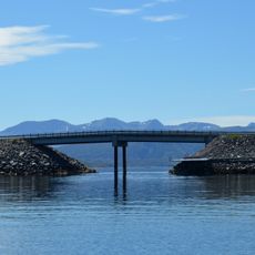
Atlantic Ocean Road, Coastal road in Møre og Romsdal, Norway
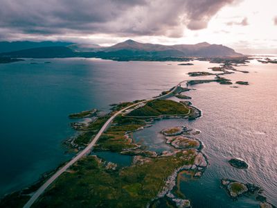
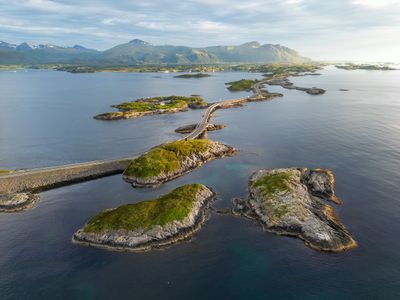
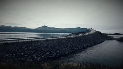
This coastal route runs across narrow bridges and low causeways linking several small islands between the mainland and Averøy island. The roadway curves close to sea level, with some sections exposed to tidal wash and wind during rough weather.
Plans for a fixed connection through this island group began in the 1970s after decades of reliance on ferry services. Following multiple construction delays caused by severe autumn storms, the route opened to traffic in 1989.
Locals often drive this route during autumn storms to witness waves crashing over the roadway, creating temporary impassable conditions. Photographers travel from distant regions to capture these dramatic weather encounters, timing their visits with forecast high seas.
The route remains open year-round but may close briefly during extreme weather events. Several parking bays along the way offer stopping points where visitors can step out and explore on foot.
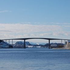
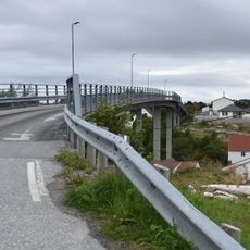
One bridge section creates an optical illusion from certain angles, making the roadway appear to drop off abruptly into the sea. This effect occurs due to the steep rise of the span combined with the curve of the road beyond.
The community of curious travelers
AroundUs brings together thousands of curated places, local tips, and hidden gems, enriched daily by 60,000 contributors worldwide.