
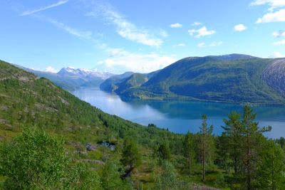
Leirfjorden, fjord in Sørfold, Norway
Location: Sørfold Municipality
GPS coordinates: 67.52000,15.57200
Latest update: March 14, 2025 05:52
Rago National Park
20 km
Sjunkhatten National Park
24.2 km
Folda
31.1 km
Vinkfjorden
24.8 km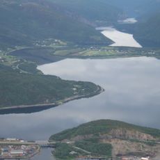
Nedrevatnet
31.5 km
Klungset leir
29.3 km
Nordfolda
25.2 km
Sørfolda
15.9 km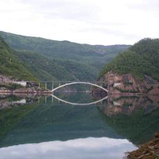
Trengsel Bridge
11.7 km
Gaskačohkka
28 km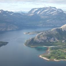
Sagfjorden
17 km
Eidetinden
26.8 km
Sjunkfjorden
15.5 km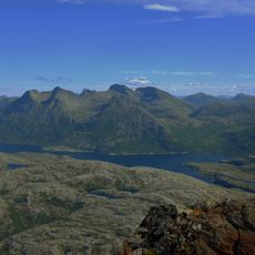
Sørfjorden
31.9 km
Nevelsfjorden
18.6 km
Tørrfjord
12.7 km
Nordfjorden
11 km
Mørsvikfjorden
29.4 km
Valnesfjordvatnet
26.4 km
Stavfjorden
21.6 km
Mulfjorden
23 km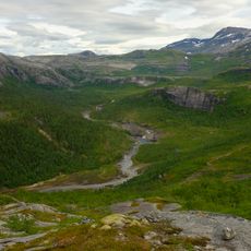
Veikdalen
25.6 km
Fauskeeidet
22.5 km
Rágujiekŋa
24.6 km
Blåmannen
34 km
Riksröse 242B
24.9 km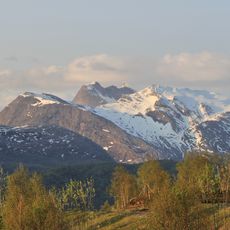
Viejekjiegŋa
27.4 km
Røsvik handelssted
6.7 kmReviews
Visited this place? Tap the stars to rate it and share your experience / photos with the community! Try now! You can cancel it anytime.
Discover hidden gems everywhere you go!
From secret cafés to breathtaking viewpoints, skip the crowded tourist spots and find places that match your style. Our app makes it easy with voice search, smart filtering, route optimization, and insider tips from travelers worldwide. Download now for the complete mobile experience.

A unique approach to discovering new places❞
— Le Figaro
All the places worth exploring❞
— France Info
A tailor-made excursion in just a few clicks❞
— 20 Minutes