Enable Location

We need your location to show you interesting places around you

Discover nearby places

Find interesting locations and hidden gems around you

Precise directions

Get accurate directions and distances to places

Your location is never shared with other users. It's only used when you tap the location button.

Rágujiekŋa

Log in to your account

Start exploring — it's free

Trusted by 61,646 travelers worldwide

Continue with Google
Continue with Apple
or

We will send you a code to connect

By continuing, you accept our Terms and Conditions and our Privacy Policy

Check your inbox

We've sent a pincode in your inbox. Please enter the code below.

Rágujiekŋa

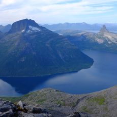
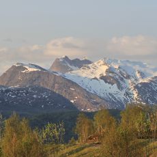
Rágujiekŋa, Glacier in Sørfold Municipality, Norway

Description

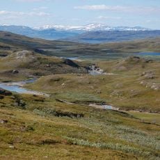
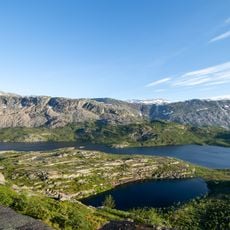
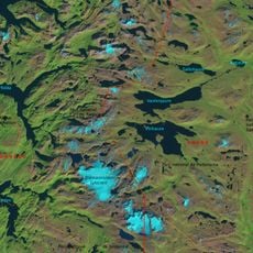
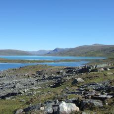
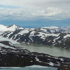
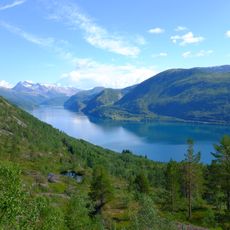
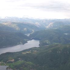
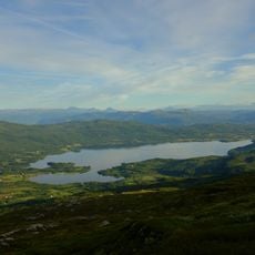
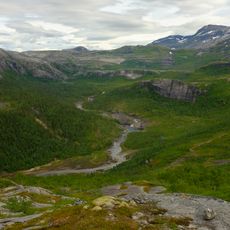
Rágujiekŋa is a large glacier in Sørfold Municipality that stretches across a wide area and reaches an elevation of about 1,540 meters at its highest point. The glacier feeds several water systems: the Laksåga river to the southwest, the Sisovatnet system to the northwest, and various streams flowing northeast toward the Lule River.

History

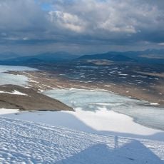
The glacier formed during climate conditions from past ice ages and has continually shifted as glaciers have retreated. After 2000, water patterns changed noticeably as meltwater created new channels beneath the ice, redirecting flow away from the Luleälven toward the Sisovatnet system.

Culture

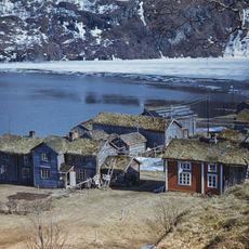
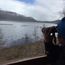
The Sámi communities have long ties to this glacial region that shape their way of life. Their presence in the area reflects generations of living alongside the ice and water systems.

Practical

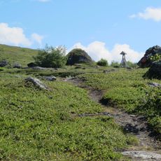
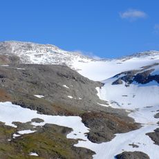
The area is remote and requires good preparation and appropriate gear for hiking or exploring. Access is best during warmer months when routes are passable and weather is more stable.

Did you know?

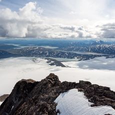
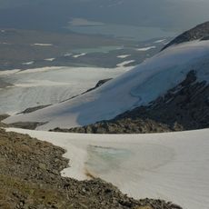
Researchers discovered a large cylindrical hole formed by glacial lake drainage, offering special insights into how ice moves and changes. This opening shows how water works beneath the glacier and reshapes the ice structure over time.

GPS coordinates
67.42124,16.08814
Latest update
December 15, 2025 13:26

AroundUs brings together thousands of curated places, local tips, and hidden gems, enriched daily by 60,000 contributors worldwide. Discover all places nearby (Sørfold Municipality).

« Rágujiekŋa - Glacier in Sørfold Municipality, Norway » is provided by Around Us (aroundus.com). Images and texts are derived from Wikimedia project under a Creative Commons license. You are allowed to copy, distribute, and modify copies of this page, under the conditions set by the license, as long as this note is clearly visible.

Discover hidden gems everywhere you go!

From secret cafés to breathtaking viewpoints, skip the crowded tourist spots and find places that match your style. Our app makes it easy with voice search, smart filtering, route optimization, and insider tips from travelers worldwide. Download now for the complete mobile experience.

Around Us App Screenshot

A unique approach to discovering new places

Le Figaro

All the places worth exploring

France Info

A tailor-made excursion in just a few clicks

20 Minutes

Around Us
Travel Guide & Maps
Download

Send to your phone

QR Code
1

Open the camera app on your mobile.

2

Point at the QR code with your camera. A notification will appear.

3

Tap the notification to open the link.