Padjelanta National Park, National park in Norrbotten County, Sweden.
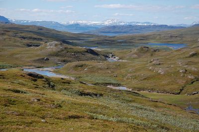
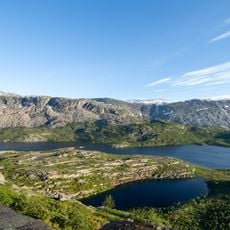
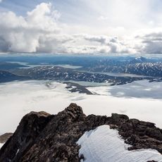
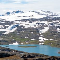
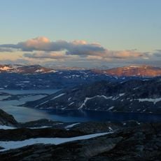
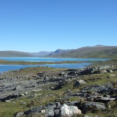
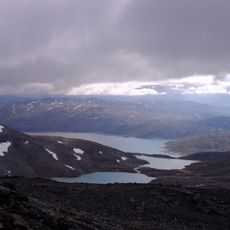
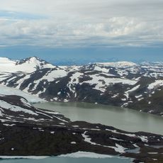
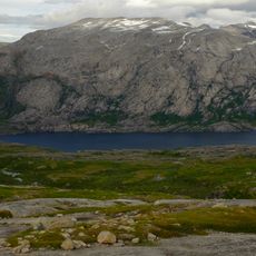
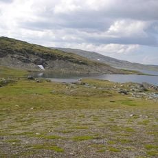
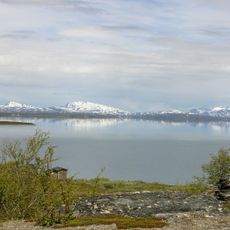
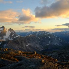
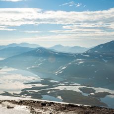
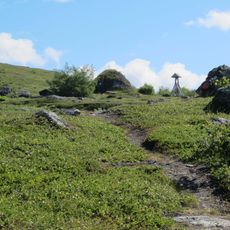
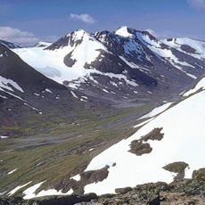
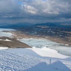
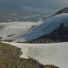
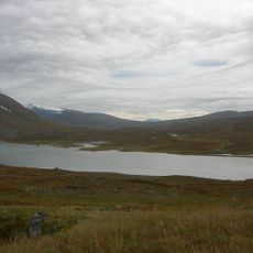
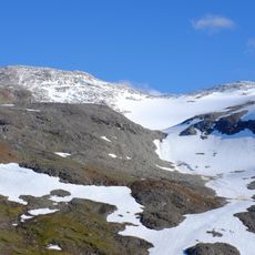
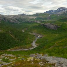
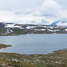
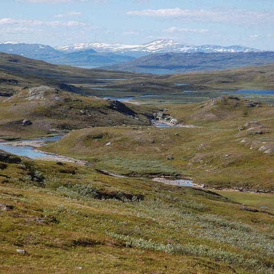
Padjelanta National Park is a high plateau at 800–1000 m above sea level around the lakes Vastenjaure and Virihaure, with low, rounded slopes of green, olive-brown and grey vegetation, patches of bare rock and gravel, and a shallow winding stream. Darker rocky ridges rise beyond, and a long snow-streaked mountain range lies farther back along the Norwegian border.
Padjelanta was made a national park in 1962, the same year as Sarek and Stora Sjöfallet, and at 1,984 km² it is Sweden's largest. In 1996 it became part of the UNESCO World Heritage site Laponia, which also includes Sarek, Stora Sjöfallet and Muddus.
The name Padjelanta comes from Lule Sami Badjelánnda, meaning "the higher land". Three reindeer herding communities, Tuorpon, Jåhkågasska and Sirgas, use the area as summer pasture and stay in the villages of Staloluokta and Árasluokta, where some traditional turf and tent kåtor still stand. Herders there let visitors watch calf marking and learn about reindeer keeping.
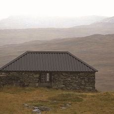
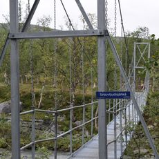
The Padjelantaleden trail, 140 km long, enters the park from Ritsem in the north and Kvikkjokk in the south; both are reachable by bus or car from Gällivare and Jokkmokk. Overnight huts along the route are open and partly staffed in summer. From Norway, hikers come in from Sulitjelma via the locked Sorjus hut of the DNT, with the key borrowed in Sulitjelma. In summer, helicopters link Ritsem and Kvikkjokk with Staloluokta.
During summer the park experiences the midnight sun, when sunlight persists through the night. In winter the landscape enters extended twilight with a characteristic blue-tinted glow.
The community of curious travelers
AroundUs brings together thousands of curated places, local tips, and hidden gems, enriched daily by 94,408 contributors worldwide.