Rago National Park, National park in Sørfold Municipality, Norway.
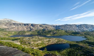
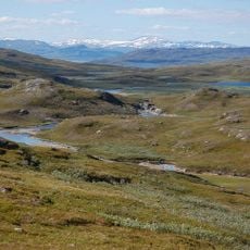
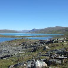
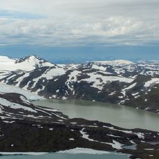
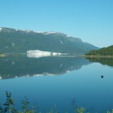
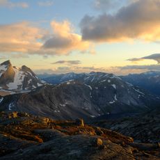
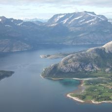
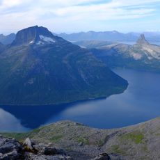
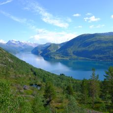
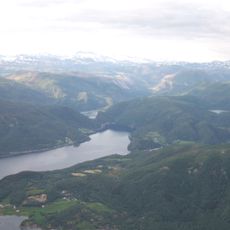
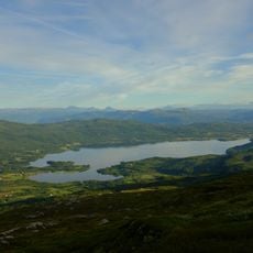
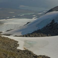
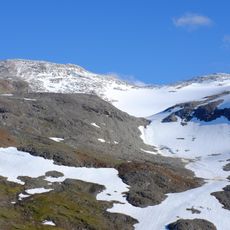
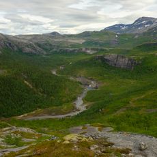
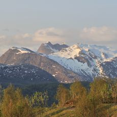
Rago National Park in Sørfold Municipality covers terrain with clear rivers, waterfalls, pine forests, and steep rocky formations. The landscape varies from forested valleys to open mountain areas with distinctive cliff faces.
The park was established in 1971 to protect natural landscapes along the Swedish border. Its creation reflected Norway's broader commitment to preserving significant wilderness areas in the north.
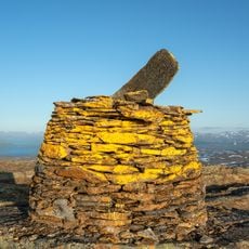
The name Rago comes from the Sami word Rákkok, describing the rugged mountain landscape that shaped how local people related to this land. You can see how the terrain still influences how people move through and experience the area today.
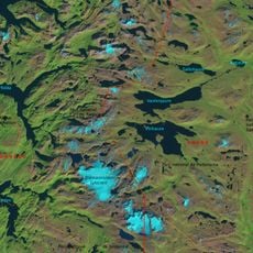
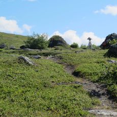
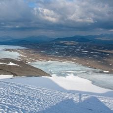
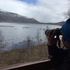
The park can be reached through marked trails starting from Lakshol or Litjsand, with an open hut available near lake Storskogvatnet for overnight stays. Visitors should prepare for changing mountain weather and factor in walking distances between access points.
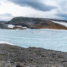
It connects with three Swedish national parks to form one of Europe's largest protected wilderness areas spanning across the border. This cross-border link allows hikers to travel through international territory and experience one of the continent's most extensive undisturbed natural regions.
Location: Sørfold Municipality
Inception: 1971
Operator: Midtre Nordland nasjonalparkstyre
GPS coordinates: 67.43333,15.98333
Latest update: December 6, 2025 17:43
The Norwegian fjords offer far more than the familiar postcard views. This collection focuses on sites many visitors overlook: medieval stave churches with intricate timber construction, waterfalls that plunge behind hiking trails, and glaciers stretching across multiple valleys. From the Trollkirka cave system in Fraena to the reconstructed Viking village at Gudvangen, each location reveals a different aspect of Norway's landscape and history. The selection includes natural formations like Kjeragbolten, a boulder wedged between two cliff faces, and Torghatten mountain with its perforated summit. Cultural sites such as Nidaros Cathedral in Trondheim and Heddal stave church document architectural evolution across centuries. Jostedalsbreen glacier and Lake Lovatnet provide access to alpine regions, while the old Strynefjellsvegen road winds through highland passes. These locations are scattered along the coast and through the valleys of western Norway, suitable for travelers with time to explore different areas and terrain types.
Padjelanta National Park
25.9 km
Blåmannsisen
20.7 km
Vuolep Sårjåsjávrre
28.6 km
Nedrevatnet
30.9 km
Sjønstå
27.9 km
Leirvatnet
19.6 km
Sulitjelma Church
33.3 km
Sørfolda
35.2 km
Trengsel Bridge
13.6 km
Gaskačohkka
24.3 km
Sagfjorden
36.7 km
Sjunkfjorden
33.5 km
Leirfjorden
20 km
Staloluokta kåtakyrka
33.4 km
Tørrfjord
16.2 km
Nordfjorden
13.1 km
Valnesfjordvatnet
34.5 km
Stavfjorden
36.9 km
Ålmåjjiegŋa
26.3 km
Linájiekŋa
25 km
Sorjosčohkka
30.4 km
Veikdalen
18.4 km
Fauskeeidet
24.9 km
Rágujiekŋa
4.7 km
Blåmannen
19.4 km
Riksröse 242B
12.1 km
Viejekjiegŋa
22.8 km
Røsvik handelssted
23 kmVisited this place? Tap the stars to rate it and share your experience / photos with the community! Try now! You can cancel it anytime.
Discover hidden gems everywhere you go!
From secret cafés to breathtaking viewpoints, skip the crowded tourist spots and find places that match your style. Our app makes it easy with voice search, smart filtering, route optimization, and insider tips from travelers worldwide. Download now for the complete mobile experience.
A unique approach to discovering new places❞
— Le Figaro
All the places worth exploring❞
— France Info
A tailor-made excursion in just a few clicks❞
— 20 Minutes